Gande´er Mountain, Wuhai
Map

Map

Facts and practical information
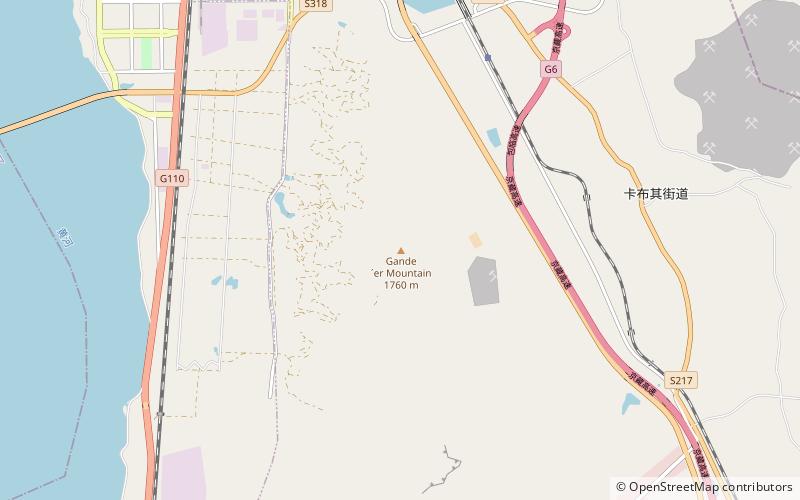
Gander Mountain, also known as Gangdege Mountain, is located in the south of Haibowan District, Wuhai City, Inner Mongolia Autonomous Region, with the highest point more than 1,760 meters above sea level. The mountain is oriented north-south, with the Yellow River on the west side, the Sihemu Nature Reserve on the east side, and the Hainan District of Wuhai City on the south side, with the Gandershan Qi Canyon in the southward part of the mountain.
Gander is a Mongolian word meaning Hada.
Coordinates: 39°36'27"N, 106°49'59"E
Address
Wuhai
ContactAdd
Social media
Add
Day trips
Gande´er Mountain – popular in the area (distance from the attraction)
Nearby attractions include: Haibowan District.

