Guangzhou University, Guangzhou
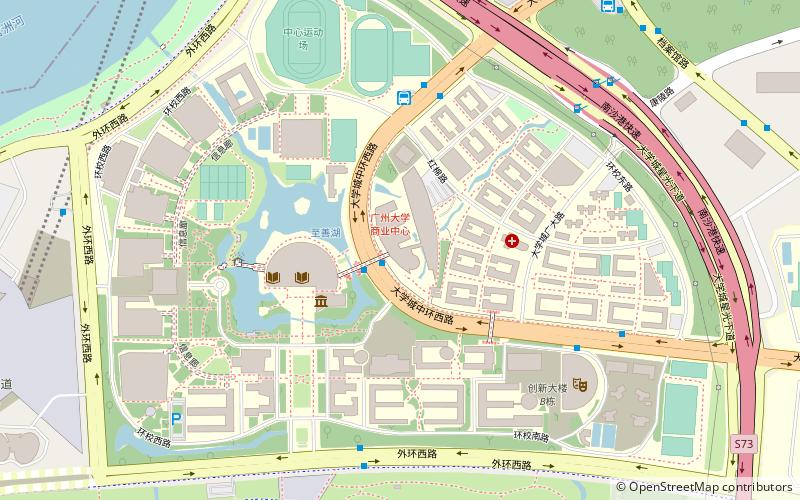
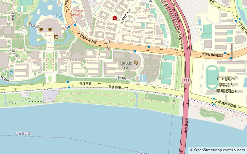
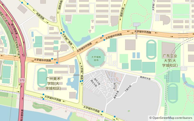
Map
Facts and practical information
Getting there by public transportation
Public transportation stops near this location
- Metro
- Bus
 Metro
Metro
- Calculate routeLiving Area of Guangzhou University 2 min walk
- Calculate routeHEMC Guangzhou University Bus Terminal 6 min walk
- Calculate route大学城公交站场 6 min walk
- Calculate routeHEMC Guangzhou University 6 min walk
- Calculate routeHigher Education Mega Center North 37 min walk
Day trips


Frequently Asked Questions (FAQ)
Which popular attractions are close to Guangzhou University?
Nearby attractions include Xiaoguwei, Guangzhou (8 min walk), Guangdong Science Center, Guangzhou (14 min walk), Guangzhou Academy of Fine Arts, Panyu (17 min walk).
How to get to Guangzhou University by public transport?
The nearest stations to Guangzhou University:
Bus
Metro
Bus
- Living Area of Guangzhou University • Lines: 332路(往大学城客运中心方向), 332路(往长江路方向), 35, 383路(往大学城科学中心方向), 383路(往长洲码头方向), 565路(往大学城方向), 565路(往穗盐路方向), 801路(往体育中心方向), 801路(往大学城科学中心方向), B25路(往体育中心方向), B25路(往大学城中部枢纽方向), 大学城1线(往大学城广大方向), 大学城1线(往广外方向), 大学城3线(往大学城中部枢纽方向), 大学城3线(往广东药学院方向), 大学城4线(往大学城广大方向), 大学城4线(往天平架方向), 大学城环线1路(中环路逆时针方向), 大学城环线2路(中环路顺时针方向), 番201路(往大学城体育中心方向), 番201路(往大学城穗石村方向), 番202路(往大学城体育中心方向), 番202路(往大学城科学中心方向) (2 min walk)
- HEMC Guangzhou University Bus Terminal • Lines: 大学城1线(往大学城广大方向), 大学城1线(往广外方向), 大学城4线(往大学城广大方向), 大学城4线(往天平架方向) (6 min walk)
Metro
- Higher Education Mega Center North • Lines: 4 (37 min walk)