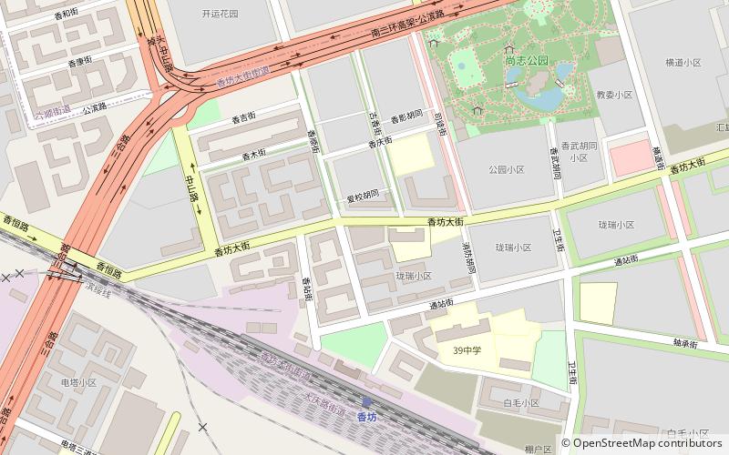
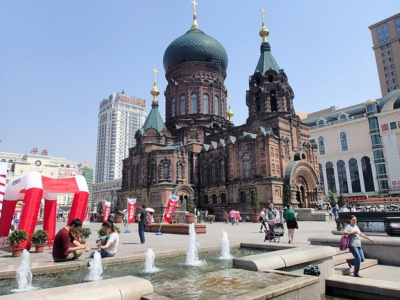
Xiangfang District, Harbin
Map
Facts and practical information
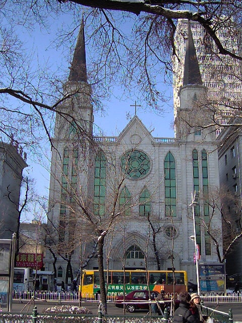
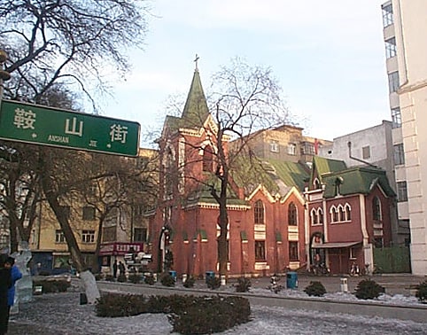
Xiangfang District is one of nine districts of the prefecture-level city of Harbin, the capital of Heilongjiang Province, Northeast China. It is an urban district in the pre-1940 part of Harbin, bordering the districts of Daowai to the north, Acheng to the southeast, Pingfang to the southwest, and Nangang to the west. It is an industrialized area, and contains the main scientific, technological and industrial zones of the city. The Harbin Development Zone is in the district. ()
Address
Harbin
ContactAdd
Social media
Add
Getting there by public transportation
Public transportation stops near this location
- Metro
- Bus
- Train
 Metro
Metro
- Calculate routeXiangfang 5 min walk
- Calculate routeYoufang Street 14 min walk
- Calculate routeGongbin Road 19 min walk
- Calculate routeTurbine Co., Ltd 23 min walk
- Calculate routeProvincial Hospital 24 min walk
- Calculate routeshi zhi mosque 27 min walk
- Calculate route民航大夏 30 min walk
- Calculate routemostque back school 86 32 min walk
Day trips


Frequently Asked Questions (FAQ)
How to get to Xiangfang District by public transport?
The nearest stations to Xiangfang District:
Train
Metro
Bus
Train
- Xiangfang (5 min walk)
Metro
- Youfang Street • Lines: 3 (14 min walk)
- Gongbin Road • Lines: 3 (19 min walk)
Bus
- shi zhi mosque (27 min walk)
- 民航大夏 (30 min walk)