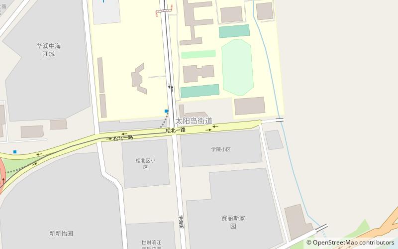
Songbei District, Harbin
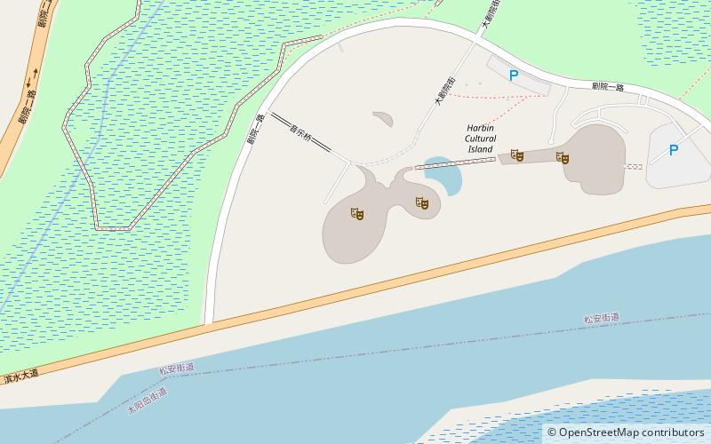
Map
Facts and practical information
Songbei District is one of nine districts of the prefecture-level city of Harbin, the capital of Heilongjiang Province, Northeast China, forming part of the city's urban core. Its name literally means "north of Song", referring to its position north of the Songhua River which runs through the city. It borders the districts of Hulan to the northeast, Daowai to the east, and Daoli to the west, as well as the prefecture-level city of Suihua to the north and west. ()
Address
Harbin
ContactAdd
Social media
Add
Getting there by public transportation
Public transportation stops near this location
- Metro
 Metro
Metro
- Calculate routeShimao Avenue 13 min walk
- Calculate routeLongchuan Road 32 min walk
Day trips
Songbei District – popular in the area (distance from the attraction)
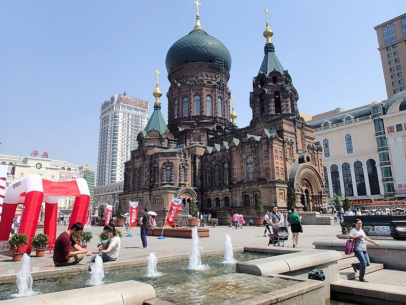
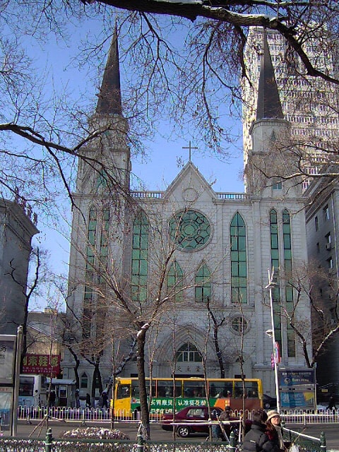
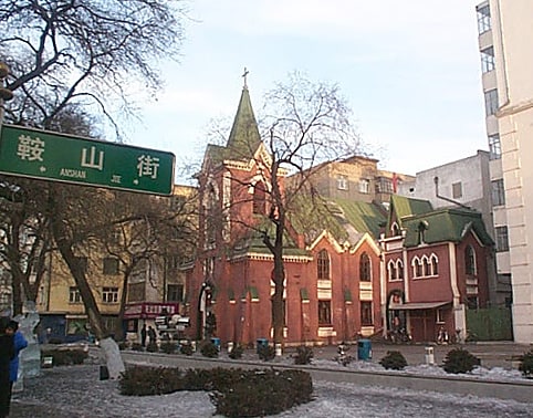
Nearby attractions include: Saint Sophia Cathedral, Harbin Institute of Technology Museum, Harbin Old Synagogue Concert Hall, Church of the Intercession.


Frequently Asked Questions (FAQ)
How to get to Songbei District by public transport?
The nearest stations to Songbei District:
Metro
Metro
- Shimao Avenue • Lines: 2 (13 min walk)
- Longchuan Road • Lines: 2 (32 min walk)