Kau Nga Ling, Hong Kong
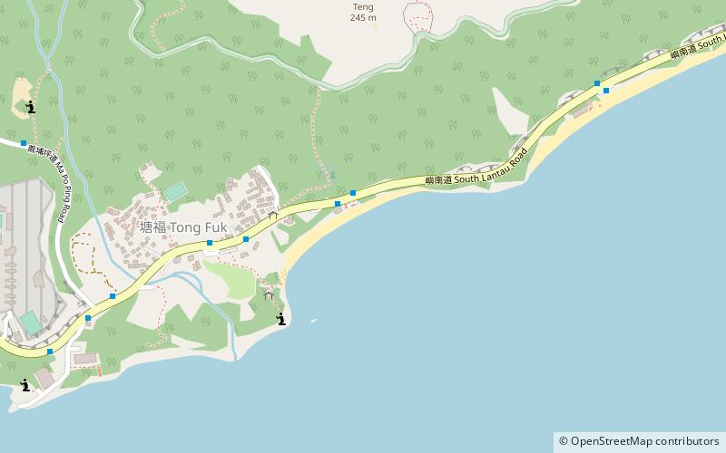
Map
Gallery

Facts and practical information
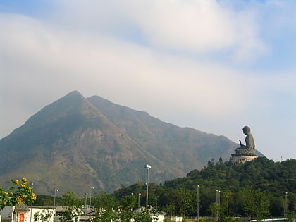
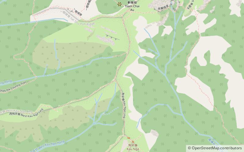
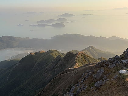
Kau Nga Ling, is a series of precipitous mountains on Lantau Island, Hong Kong, with a height of 539 metres above sea level. It is one of 16 "high-risk" hiking locations identified by the local government. Kau Nga Ling is inside Lantau South Country Park, which was created in 1978. ()
Address
Hong Kong
ContactAdd
Social media
Add
Day trips
Kau Nga Ling – popular in the area (distance from the attraction)
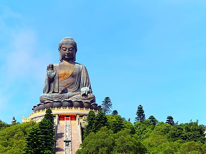
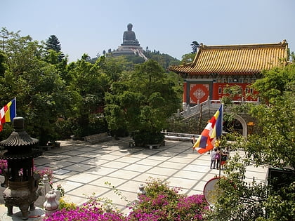
Nearby attractions include: The Big Buddha, Po Lin Monastery, Lantau Trail, Lantau Peak.
Frequently Asked Questions (FAQ)
Which popular attractions are close to Kau Nga Ling?
Nearby attractions include Lantau Peak, Hong Kong (14 min walk), Lantau Trail, Hong Kong (22 min walk).
How to get to Kau Nga Ling by public transport?
The nearest stations to Kau Nga Ling:
Bus
Bus
- Tong Fuk Correctional Institution • Lines: 1, 11, 11A, 4 (28 min walk)
- Ma Po Ping Village • Lines: 1, 11, 11A, 4 (28 min walk)
 MTR
MTR LTR
LTR Tram
Tram