Pingfang District, Harbin
Map
Facts and practical information
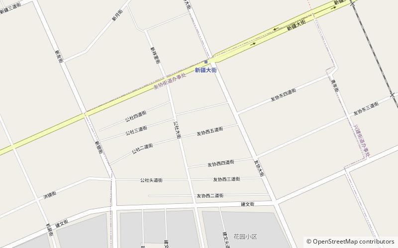
Pingfang District is one of nine districts of the prefecture-level city of Harbin, the capital of Heilongjiang Province, Northeast China, forming part of the city's urban core. The least spacious of Harbin's county-level divisions, it borders the districts of Xiangfang to the north, Acheng to the east, Shuangcheng to the southwest, and Nangang to the west. ()
Address
Harbin
ContactAdd
Social media
Add
Getting there by public transportation
Public transportation stops near this location
- Metro
 Metro
Metro
- Calculate routeXinjiang Street 5 min walk
- Calculate routeBohai Road 28 min walk
Frequently Asked Questions (FAQ)
How to get to Pingfang District by public transport?
The nearest stations to Pingfang District:
Metro
Metro
- Xinjiang Street • Lines: 1 (5 min walk)
- Bohai Road • Lines: 1 (28 min walk)