Ohel Leah Synagogue, Hong Kong

Gallery (1)
Map

Map
Facts and practical information
The Ohel Leah Synagogue and its next-door neighbors, the Jewish Recreation Club and the Jewish Community Center, have formed the center of Jewish social and religious life in Hong Kong for over a century. Originally the community was mostly Baghdadi and the synagogue was under the superintendence of the Haham of the Spanish and Portuguese Congregation of London: it is now fully independent and has members from across the Jewish diaspora. ()
Local name: 猶太教莉亞堂 Completed: 1902 (123 years ago)Architectural style: MoorishCoordinates: 22°16'54"N, 114°8'56"E
Address
70 Robinson Road中西区 (半山)Hong Kong
ContactAdd
Social media
Add
Getting there by public transportation
Public transportation stops near this location
- Metro
- Bus
- Tram
- Train
- Ferry
 Metro
Metro
- Calculate routeJadestone Court 2 min walk
- Calculate routeLadder Street 3 min walk
- Calculate routePeaksville 3 min walk
- Calculate routeCastle Road 3 min walk
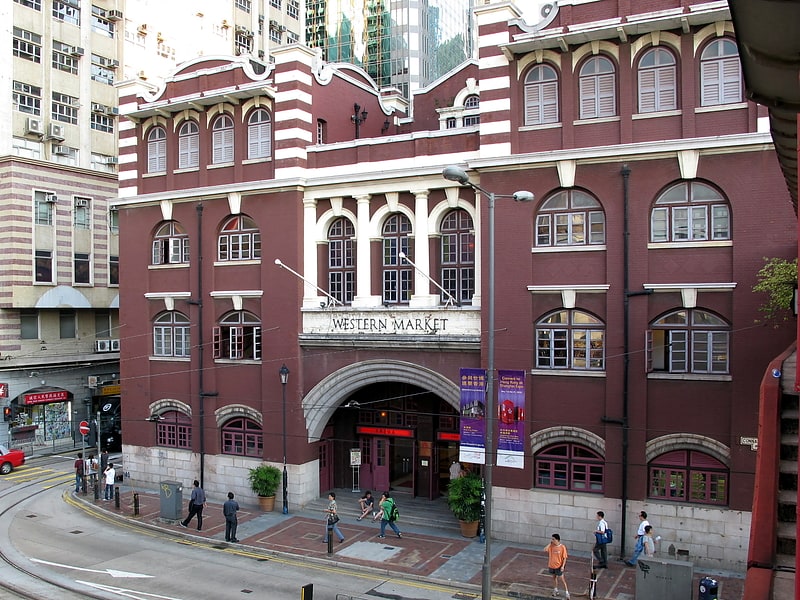
- Calculate routeWestern Market 10 min walk
- Calculate routeWestern Market Terminus 10 min walk
- Calculate routeHillier Street 10 min walk
- Calculate routeMan Wa Lane 11 min walk
- Calculate routeSheung Wan 10 min walk
- Calculate routeSai Ying Pun 13 min walk
- Calculate routeCentral 16 min walk
- Calculate routeHong Kong 17 min walk
- Calculate routeKennedy Road 18 min walk
- Calculate routeMacDonnell Road 18 min walk
- Calculate routeGarden Road 19 min walk
- Calculate routeMay Road 19 min walk
- Calculate routeCentral Pier 5 20 min walk
Maps MTRMaps
 LTRMaps
 Tram
Tram
MTRMapsLTRMapsTramDay trips
Ohel Leah Synagogue – popular in the area (distance from the attraction)
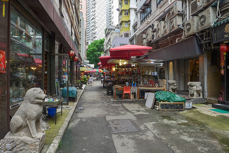
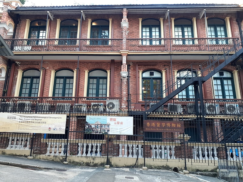
Nearby attractions include: Cat Street, Western Market, Central Market, Hong Kong Museum of Medical Sciences.


Frequently Asked Questions (FAQ)
Which popular attractions are close to Ohel Leah Synagogue?
Nearby attractions include Azura, Hong Kong (2 min walk), Hong Kong Museum of Medical Sciences, Hong Kong (3 min walk), Dr Sun Yat-sen Museum, Hong Kong (4 min walk), Dr Sun Yat-sen Historical Trail, Hong Kong (4 min walk).
How to get to Ohel Leah Synagogue by public transport?
The nearest stations to Ohel Leah Synagogue:
Bus
Tram
Metro
Train
Ferry
Bus
- Jadestone Court • Lines: 40P (2 min walk)
- Ladder Street • Lines: 10, 22, 22S, 28, 28S, 31, 40, 40M, 8 (3 min walk)
Tram
- Western Market • Lines: 北角 → 石塘咀 North Point → Shek Tong, 筲箕灣 → 堅尼地城 Shau Kei Wan → Kenned, 跑馬地 → 堅尼地城 Happy Valley → Kenned, 銅鑼灣 → 石塘咀 Causeway Bay → Shek To (10 min walk)
- Western Market Terminus • Lines: 上環 (西港城) → 筲箕灣 Western Market →, 筲箕灣 → 上環 (西港城) Shau Kei Wan → We (10 min walk)
Metro
- Sheung Wan • Lines: Isl (10 min walk)
- Sai Ying Pun • Lines: Isl (13 min walk)
Train
- Kennedy Road (18 min walk)
- MacDonnell Road (18 min walk)
Ferry
- Central Pier 5 • Lines: Cheung Chau - Central (20 min walk)