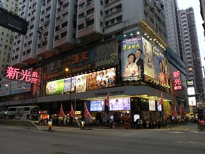
Hung Heung Lo Fung, Hong Kong
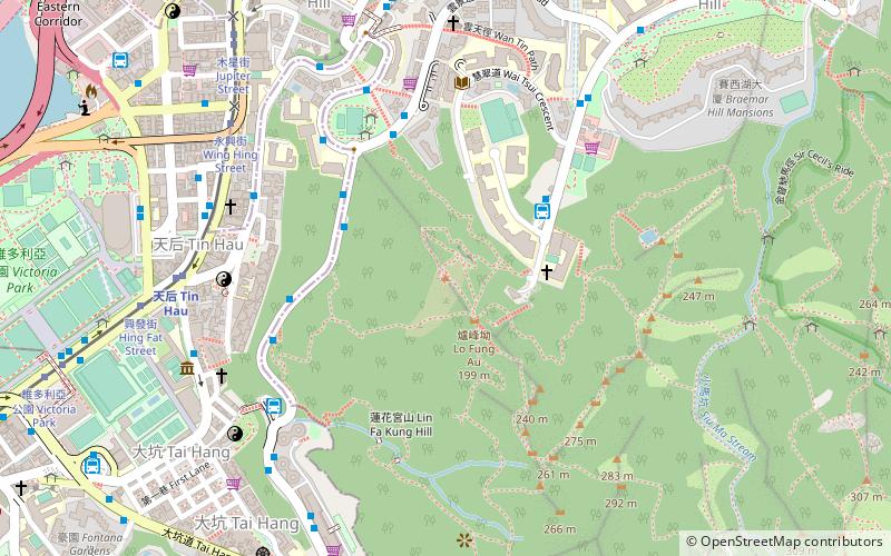
Map
Facts and practical information
Hung Heung Lo Fung is a hill with a height of 228 metres on Hong Kong Island, Hong Kong, close to Jardine's Lookout. ()
Coordinates: 22°16'56"N, 114°11'49"E
Address
Hong Kong
ContactAdd
Social media
Add
Day trips
Hung Heung Lo Fung – popular in the area (distance from the attraction)
Nearby attractions include: Hysan Place, World Trade Centre, Victoria Park, Manulife Plaza.
Frequently Asked Questions (FAQ)
Which popular attractions are close to Hung Heung Lo Fung?
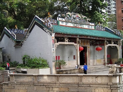
Nearby attractions include Hong Kong Shue Yan University, Hong Kong (7 min walk), Braemar Hill Mansions, Hong Kong (7 min walk), Tin Hau Temple, Hong Kong (7 min walk), Braemar Hill, Hong Kong (8 min walk).
How to get to Hung Heung Lo Fung by public transport?
The nearest stations to Hung Heung Lo Fung:
Bus
Tram
Metro
Train
Bus
- Braemar Hill (4 min walk)
- Lai Tak Tsuen (7 min walk)
Tram
- Lau Sin Street • Lines: 北角 → 石塘咀 North Point → Shek Tong, 筲箕灣 → 上環 (西港城) Shau Kei Wan → We, 筲箕灣 → 堅尼地城 Shau Kei Wan → Kenned, 筲箕灣 → 跑馬地 Shau Kei Wan → Happy V (8 min walk)
- Lau Li Street • Lines: 北角 → 石塘咀 North Point → Shek Tong, 筲箕灣 → 上環 (西港城) Shau Kei Wan → We, 筲箕灣 → 堅尼地城 Shau Kei Wan → Kenned, 筲箕灣 → 跑馬地 Shau Kei Wan → Happy V (8 min walk)
Metro
- Tin Hau • Lines: Isl (9 min walk)
- Fortress Hill • Lines: Isl (12 min walk)
Train
- Happy Valley Terminus (31 min walk)
 MTR
MTR LTR
LTR Tram
Tram