Pudong, Shanghai
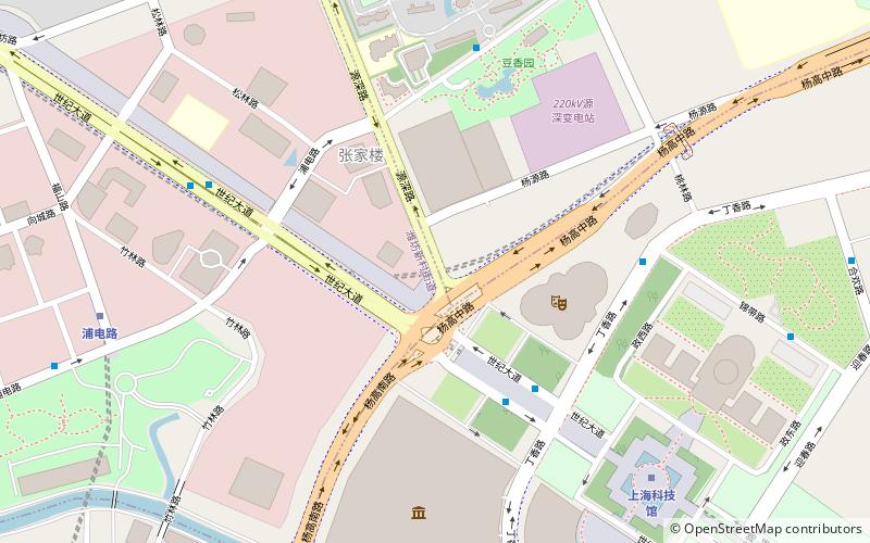
Map
Map

Facts and practical information
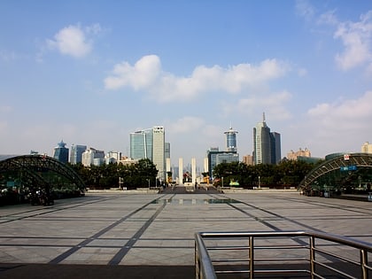
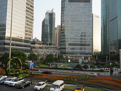
Pudong is a district of Shanghai located east of the Huangpu River across from the historic city center of Shanghai in Puxi. The name refers to its historic position as "The East Bank" of the Huangpu River, which flows through central Shanghai, although it is now administered as the Pudong New Area, a state-level new area which extends all the way to the East China Sea. ()
Day trips
Pudong – popular in the area (distance from the attraction)
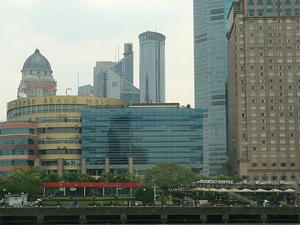
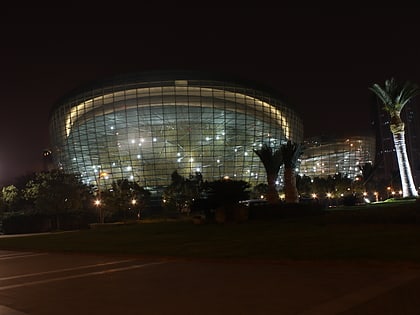
Nearby attractions include: Shanghai Science and Technology Museum, Shanghai IFC, Super Brand Mall, Oriental Art Center.
Frequently Asked Questions (FAQ)
How to get to Pudong by public transport?
The nearest stations to Pudong:
Bus
Metro
Bus
- Heisong Road East Jinxiu Road • Lines: 987 (22 min walk)
- Mingyue Road Heisong Road • Lines: 987 (25 min walk)
Metro
- Huangyang Road • Lines: 14 (25 min walk)
- Yunshun Road • Lines: 14 (38 min walk)

