Labuche Kang, Qomolangma
Map

Map

Facts and practical information
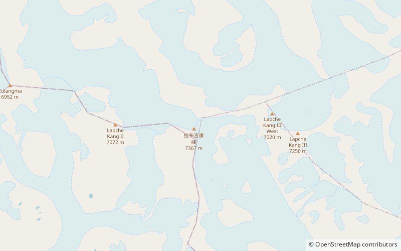
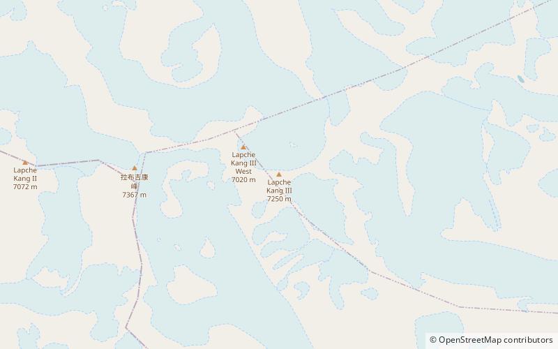
Labuche Kang is a northern outlier of the Himalayas inside Tibet. It rises northwest of Rolwaling Himal and east of Shishapangma. The peak belongs to a little-known section of the Himalaya variously called Labuche Himal, Pamari Himal and Lapchi Kang. that extends from the valley of the Tamakosi River west to the valley of the Sun Kosi and Nyalam Tong La pass where Arniko-Friendship Highway cross the Himalaya. This section extends south into Nepal east of Arniko Highway. It is wholly within the catchment of the Kosi, a Ganges tributary. ()
Local name: 拉布吉康峰 First ascent: 1987Elevation: 24170 ftProminence: 6421 ftCoordinates: 28°18'16"N, 86°21'4"E
Address
Qomolangma
ContactAdd
Social media
Add
Day trips
Labuche Kang – popular in the area (distance from the attraction)
Nearby attractions include: Labuche Kang III/East.

