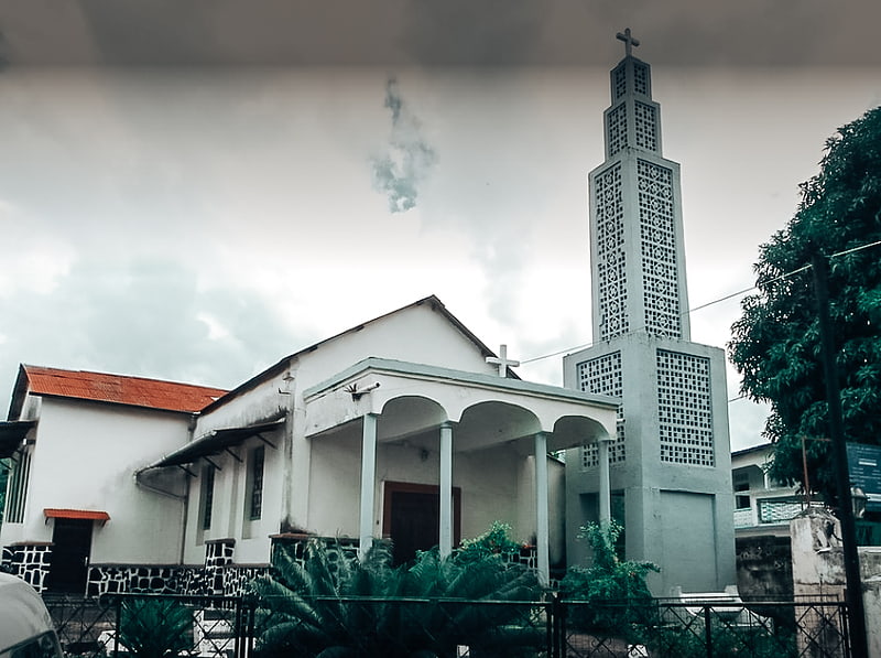
Mosquée, Moroni
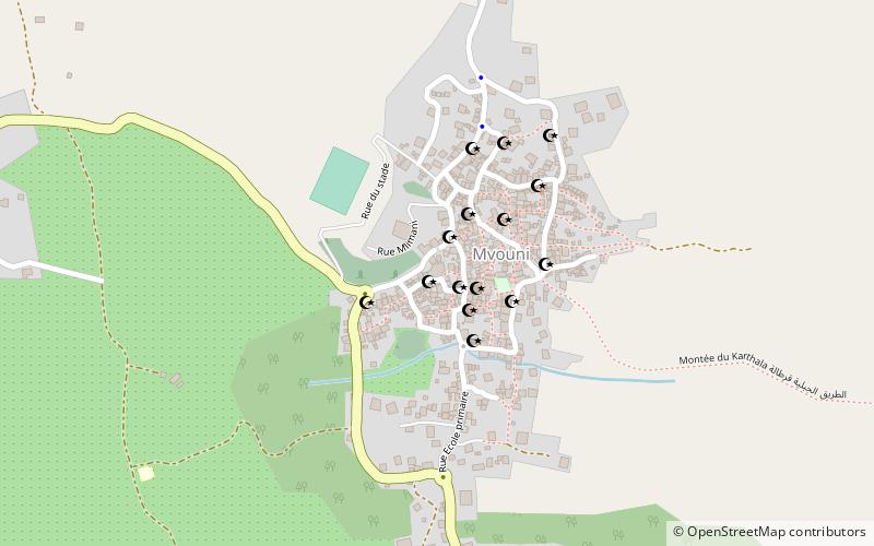
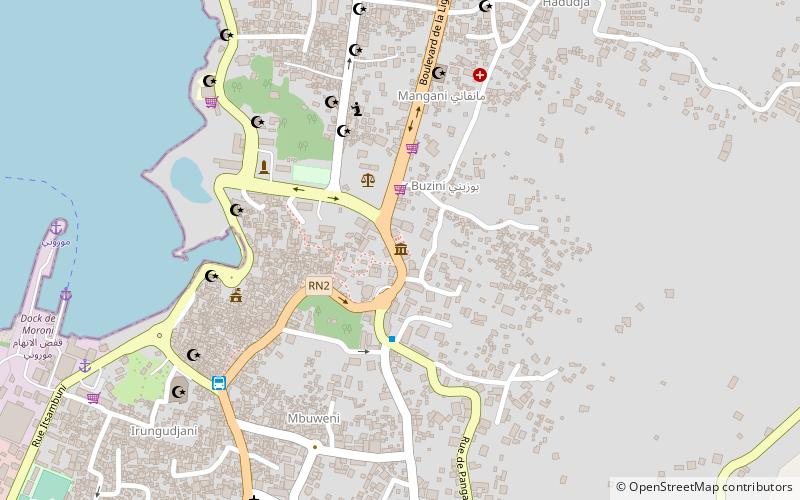
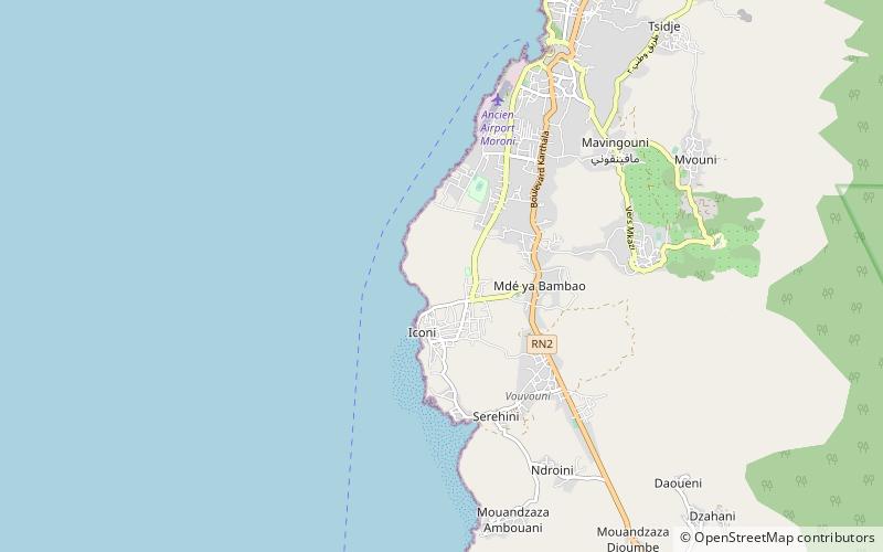
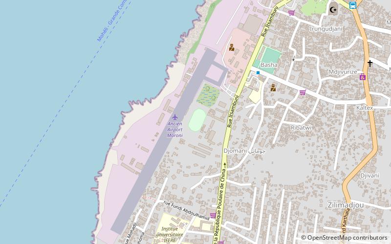
Map
Facts and practical information
Mosquée is a place located in Moroni (Njazídja autonomous island) and belongs to the category of mosque.
It is situated at an altitude of 1198 feet, and its geographical coordinates are 11°43'13"S latitude and 43°16'24"E longitude.
Among other places and attractions worth visiting in the area are: St. Theresa of the Child Jesus Church (church, 41 min walk), Musée des Comores (museum, 43 min walk), Stade de Beaumer (sport, 49 min walk).
Coordinates: 11°43'13"S, 43°16'24"E
Address
Moroni
ContactAdd
Social media
Add
Day trips

Frequently Asked Questions (FAQ)
When is Mosquée open?
Mosquée is open:
- Monday 24h
- Tuesday 24h
- Wednesday 24h
- Thursday 24h
- Friday 24h
- Saturday 24h
- Sunday 24h