Cerro de la Muerte

Gallery (1)
Map
Map
Facts and practical information
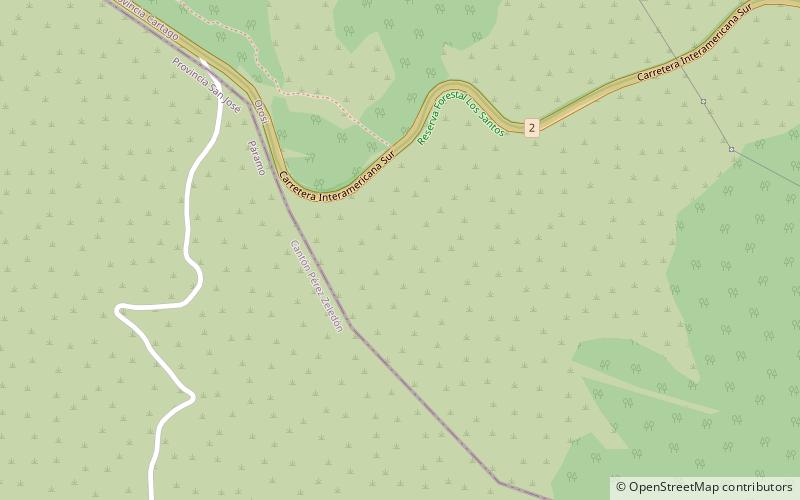
Cerro de la Muerte is a mountain peak of a massif in Costa Rica, it is located within the Tapantí — Cerro de la Muerte Massif National Park, and is the highest point on the Pan-American Highway. ()
Location
San José
ContactAdd
Social media
Add