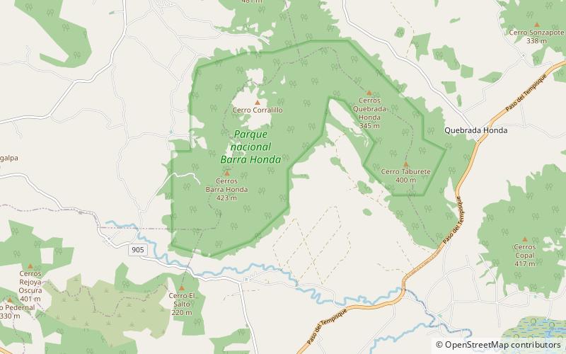
Barra Honda National Park
Map

Map

Facts and practical information
Barra Honda National Park is a national park in the western part of Costa Rica, which forms part of the Tempisque Conservation Area about 12 km from the Tempisque River. It was created in 1974 to protect its famous cave systems, under the Barra Honda Peak which was formed when islets from the Miocene Era were raised above the plains of the river. The caves and waterways there today were then carved out by the action of rain filtering through the limestone over 70 million years or more. ()
Local name: Parque nacional Barra Honda Established: 1974 (52 years ago)Elevation: 410 ft a.s.l.Coordinates: 10°10'30"N, 85°20'41"W
Location
Guanacaste
ContactAdd
Social media
Add
