Chira Island

Gallery (1)
Map
Map
Facts and practical information
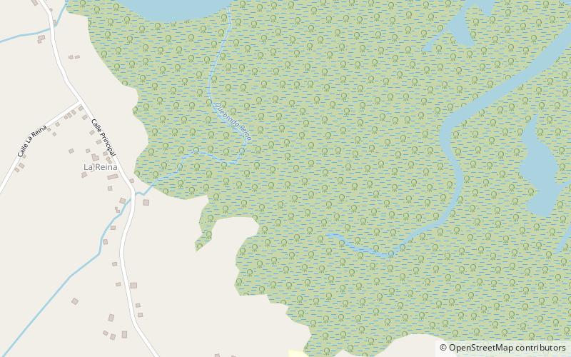
Chira Island is a 4,300-hectare Costa Rican Pacific island located at the upper end of the Gulf of Nicoya it is also as Chira a district of the Puntarenas canton, in the Puntarenas province of Costa Rica. ()
Location
Puntarenas
ContactAdd
Social media
Add