Centro de Conservación de Santa Ana, San José
Map

Map

Facts and practical information
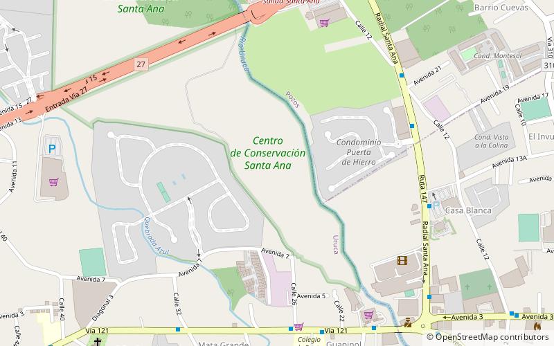
Centro de Conservación de Santa Ana is a wilderness area of approximately 52 hectares, located in the Uruca district, in the canton of Santa Ana, Costa Rica. It has an average altitude of 900 meters and is bounded to the east by the bed of the river Uruca. The site includes patches of one of the last remnants of dry tropical forest in the Central Valley, trails, Agricultural Historical Museum, soccer field, picnic area, a species of wild and domestic animals and a nursery of forest species. ()
Address
San José
ContactAdd
Social media
Add
Day trips
Centro de Conservación de Santa Ana – popular in the area (distance from the attraction)
Nearby attractions include: Parque Diversiones, Paseo de las Flores, Bocaraca, Balneario Ojo de Agua.
Frequently Asked Questions (FAQ)
How to get to Centro de Conservación de Santa Ana by public transport?
The nearest stations to Centro de Conservación de Santa Ana:
Bus
Bus
- Parada Mas x Menos • Lines: Ruta 9 (9 min walk)
- Parada Cruz Roja • Lines: Ruta 9 (13 min walk)


