Calle de la Amargura, San José
Map

Map

Facts and practical information
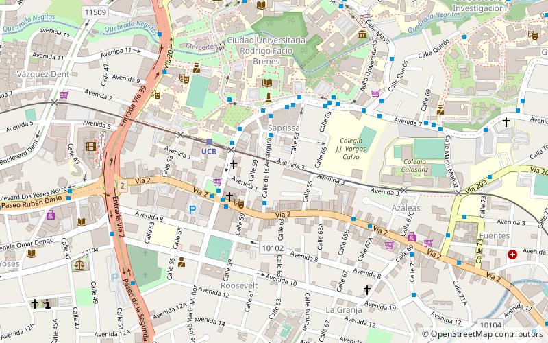
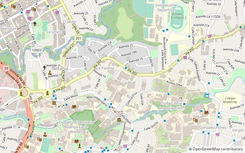
The Calle de la Amargura is a four-block-long street located in San Pedro district, Montes de Oca canton, and is one of the best-known zones near San José city. La Calle, as it is often called, is very close to the University of Costa Rica and other important higher education centers. ()
Address
San José
ContactAdd
Social media
Add
Day trips
Calle de la Amargura – popular in the area (distance from the attraction)
Nearby attractions include: Atlántico railway station, Feria Del Agricultor, San Pedro, Curridabat.
Frequently Asked Questions (FAQ)
Which popular attractions are close to Calle de la Amargura?
Nearby attractions include San Pedro, San José (5 min walk), University of Costa Rica, San José (14 min walk), Distance State University, San José (14 min walk).
How to get to Calle de la Amargura by public transport?
The nearest stations to Calle de la Amargura:
Bus
Train
Bus
- John F. Kennedy Park • Lines: Ruta 08 San Jose - Ruta Periferi (4 min walk)
- San José - Barrio Escalante y Carmiol - San Pedro - San José bus stop • Lines: Ruta 08 San Jose - Ruta Periferi (4 min walk)
Train
- Ucr (4 min walk)
- Ambos Mares (21 min walk)


