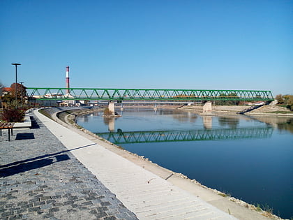
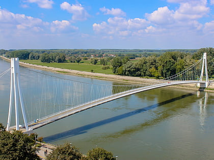
Franjo Tuđman Bridge, Osijek
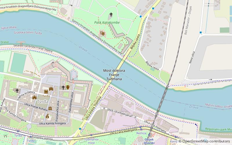
Map
Map

Facts and practical information
Local name: Most dr. Franje TuđmanaCompleted: 1995 (31 years ago)Length: 965 ftCoordinates: 45°33'43"N, 18°42'4"E
Address
Osijek
ContactAdd
Social media
Add
Day trips
Franjo Tuđman Bridge – popular in the area (distance from the attraction)
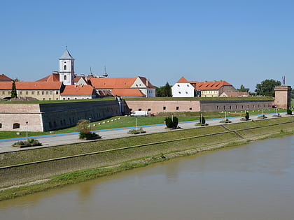
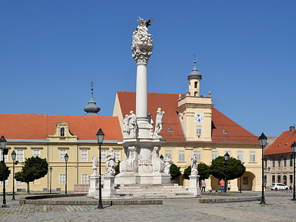
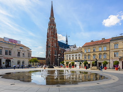
Nearby attractions include: Tvrđa, Osijek Archaeological Museum, Osijek Co-cathedral, Copacabana.
Frequently Asked Questions (FAQ)
Which popular attractions are close to Franjo Tuđman Bridge?
Nearby attractions include Vodena vrata, Osijek (5 min walk), Sea world museum, Osijek (5 min walk), Tvrđa, Osijek (7 min walk), Museum of Slavonia, Osijek (7 min walk).
How to get to Franjo Tuđman Bridge by public transport?
The nearest stations to Franjo Tuđman Bridge:
Tram
Bus
Train
Tram
- Remiza (6 min walk)
- Tuđmanov most (7 min walk)
Bus
- Tuđmanov most • Lines: 3C (7 min walk)
- Trpimirova • Lines: 3C (9 min walk)
Train
- Osijek Dravski Most (7 min walk)
- Osijek OLT (15 min walk)
