Lavsa

Gallery (2)
Map
Map
Gallery
Facts and practical information
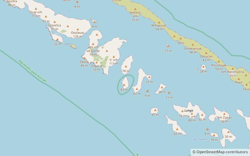
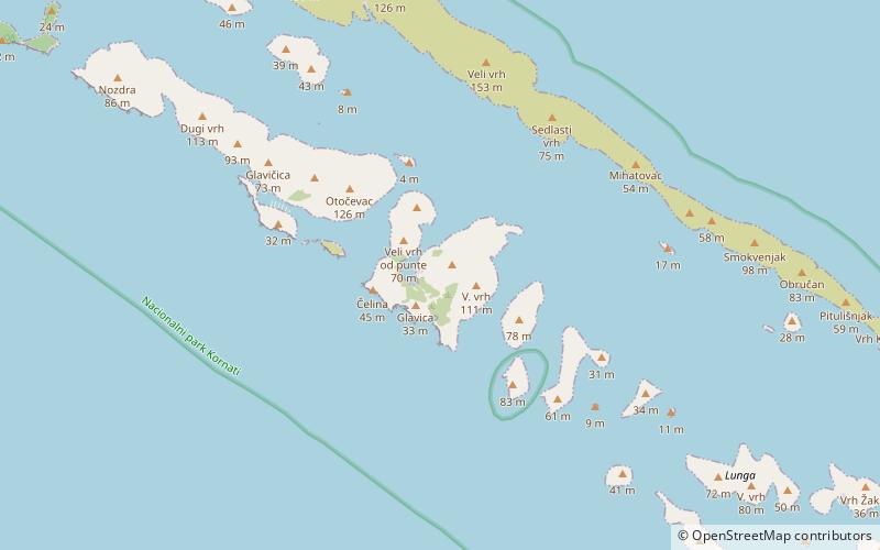
Lavsa is an uninhabited Croatian island in the Adriatic Sea located southwest of Kornat. Its area is 1.78 km2. ()
Alternative names: Area: 0.69 mi²Maximum elevation: 364 ftArchipelago: Kornati IslandsCoordinates: 43°45'6"N, 15°22'13"E
Location
Zadarska
ContactAdd
Social media
Add
Day trips