Dobra Bridge
Map

Map

Facts and practical information
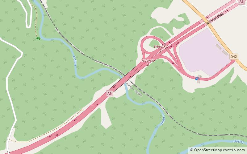
Dobra Bridge is located between the Vrbovsko and Ravna Gora interchanges of the A6 motorway in Gorski Kotar, Croatia, spanning Dobra River. It is 246.95 metres long and carries the motorway across five spans. The bridge consists of two parallel structures, both completed in 2003 by Primorje. The bridge is tolled within the A6 motorway ticket system and there are no separate toll plazas associated with use of the bridge. The bridge is located in a water protection area. ()
Opened: 2003 (23 years ago)Length: 810 ftCoordinates: 45°21'45"N, 15°4'52"E
Location
Primorsko-Goranska
ContactAdd
Social media
Add
Day trips
Dobra Bridge – popular in the area (distance from the attraction)
Nearby attractions include: Gomirje Monastery, Kamačnik Bridge, Zečeve Drage Viaduct, Vrbovsko.


