Dabar Bridge

Map
Facts and practical information
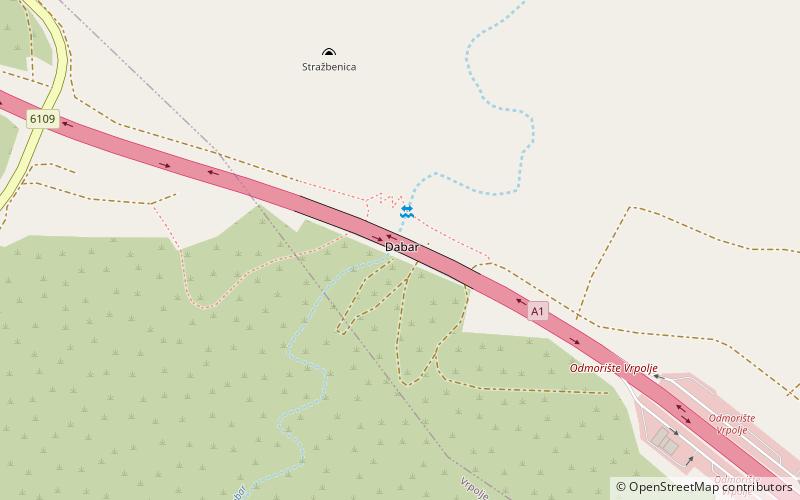
The Dabar Bridge is located between the Šibenik and Vrpolje interchanges of the A1 motorway in the Dalmatia region of Croatia. It is a 330 metres long concrete girder bridge spanning the Dabar flash flood gully at a height of 60 metres. ()
Opened: 2005 (21 years ago)Length: 1162 ftWidth: 92 ftCoordinates: 43°41'40"N, 16°1'51"E
Location
Šibensko-Kninska
ContactAdd
Social media
Add
Day trips
Dabar Bridge – popular in the area (distance from the attraction)
Nearby attractions include: Grebaštica.
