Bilogora

Gallery (1)
Map
Map
Facts and practical information
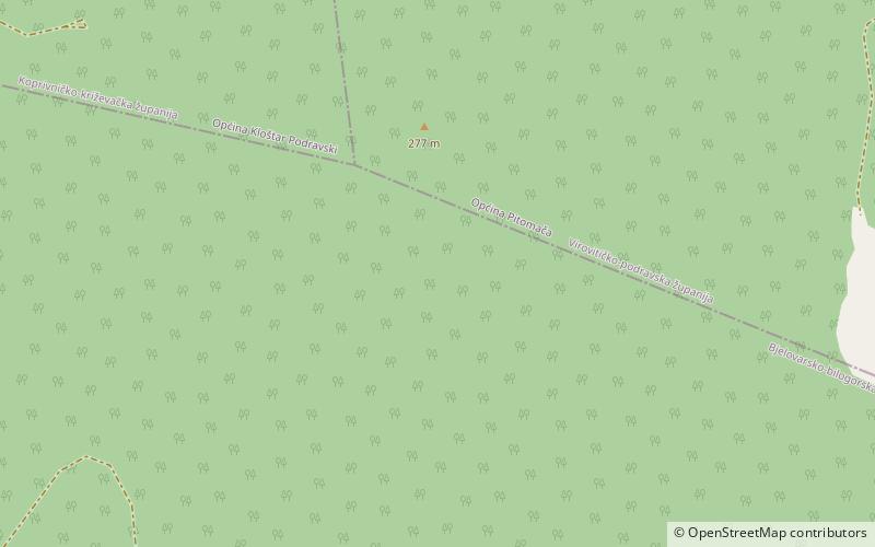
Bilogora is a low mountainous range in Central Croatia. It consists of a series of hills and small plains some 80 kilometres in length stretching in the direction northwest-southeast, along the southwest part of the Podravina region. The highest peak is called Rajčevica, located in the north of the mountain. ()
Location
Viroviticko-Podravska
ContactAdd
Social media
Add