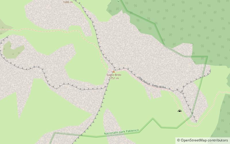
Sveto Brdo, Paklenica
Map

Map

Facts and practical information
The Holy Hill is the second largest peak of Velebit 1,752 m in height. It is located in the southeastern arm of the mountain, and belongs to the highlight of South Velebit, where the highest peak of Velebit - Vaganski Vrh is located.
Its top is clearly highlighted on the horizon viewed from the sea side of Velebit, in the area from the island of Pag to the island of Pašman, because after it, the height of the Velebit is suddenly lost to the peak of Ćelavac, the PC which connects the cities of Gracac and Obrovac and the last higher top Crnopac.
Coordinates: 44°19'43"N, 15°34'11"E
Address
Paklenica
ContactAdd
Social media
Add
Day trips
Sveto Brdo – popular in the area (distance from the attraction)
Nearby attractions include: Vaganski vrh.

