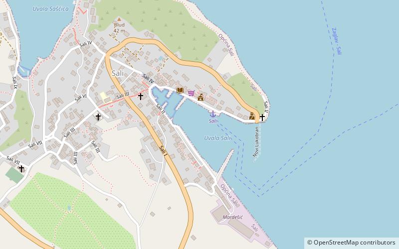
Luka Sali, Telašćica Nature Park

Gallery (1)
Map
Map
Facts and practical information
Luka Sali is a place located in Telašćica Nature Park (Zadarska county) and belongs to the category of sailing, marina.
It is situated at an altitude of 20 feet, and its geographical coordinates are 43°56'12"N latitude and 15°10'1"E longitude.
Among other places and attractions worth visiting in the area are: Lavdara (island, 42 min walk), Park prirode Telašćica (park, 80 min walk), Katina Island (island, 109 min walk).
Coordinates: 43°56'12"N, 15°10'1"E
Day trips


