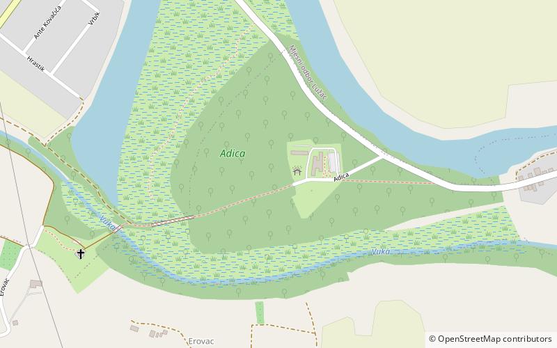
Adica, Vukovar

Gallery (1)
Map
Map
Facts and practical information
Adica is a place located in Vukovar (Vukovarsko-Srijemska county) and belongs to the category of trail, relax in park, park.
It is situated at an altitude of 312 feet, and its geographical coordinates are 45°21'13"N latitude and 18°58'31"E longitude.
Among other places and attractions worth visiting in the area are: Lavoslav Ružička Polytechnic Vukovar (universities and schools, 27 min walk), Eltz Manor (manor house, 31 min walk), Tržni centar Vukovar (shopping, 32 min walk).
Elevation: 312 ft a.s.l.Coordinates: 45°21'13"N, 18°58'31"E
Address
Vukovar
ContactAdd
Social media
Add
Day trips


