Hum, Vis Island

Gallery (1)
Map
Map
Facts and practical information
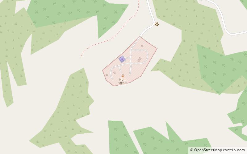
Mount Hum is a mountain located on the island of Vis, Croatia. It is the highest elevation point of Vis with its 587 metres. A military radar station is located on the top and the peak is not accessible to civilians. ()
Elevation: 1926 ftCoordinates: 43°1'47"N, 16°6'50"E
Address
Vis Island
ContactAdd
Social media
Add
Day trips