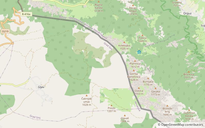
Kamešnica Mountain
Map

Map

Facts and practical information
Kamešnica is a mountain in the Dinarides, located in the southern end of the Dinara Mountain Range on the border between Bosnia and Herzegovina and Croatia. It is 1,851 metres tall and stretches from the northwest white road pass Vaganj to the Buško Blato artificial lake. The tallest peak is Konj 1,855 metres, which is located in Bosnia and Herzegovina and offer views of both sides of the border. In clear weather, it is possible to see the most remote areas of the Adriatic Sea and its islands. The vicinity's many trails and caves make it popular with hikers. ()
Location
Splitsko-Dalmatinska
ContactAdd
Social media
Add
