Svetište Predragocjene Krvi Kristove

Gallery (4)
Map

Map
Gallery
Facts and practical information
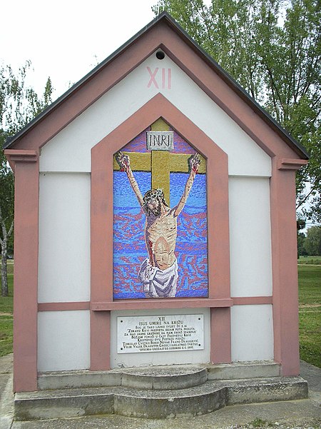
Svetište Predragocjene Krvi Kristove is a place located in Croatia and belongs to the category of church.
It is situated at an altitude of 492 feet, and its geographical coordinates are 46°15'2"N latitude and 16°37'24"E longitude.
Among other places and attractions worth visiting in the area are: Dvorac Batthyany (forts and castles, 6 min walk), Ludbreg (town, 7 min walk), Lake Dubrava (nature, 124 min walk).
Coordinates: 46°15'2"N, 16°37'24"E
Day trips


