Šalata, Zagreb
Map
Gallery
Facts and practical information
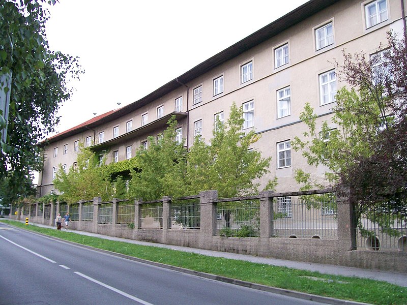
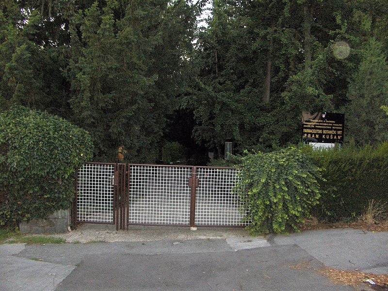
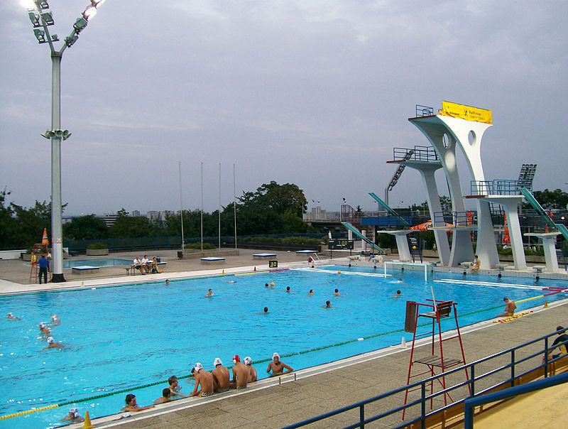
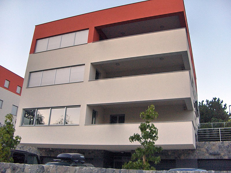
Šalata is an upper-class residential neighborhood in Zagreb, Croatia. It is administratively part of the Gornji Grad - Medveščak city district in the northern part of Zagreb and it has a population of 1,929. ()
Coordinates: 45°49'24"N, 15°59'6"E
Address
Grad Zagreb (Gornji Grad - Medveščak)Zagreb
ContactAdd
Social media
Add
Day trips
Šalata – popular in the area (distance from the attraction)
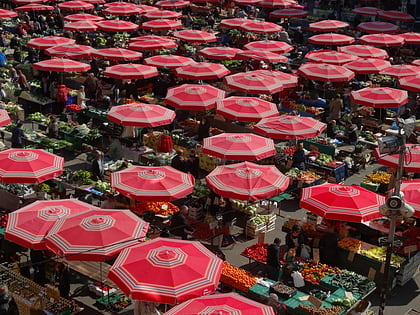
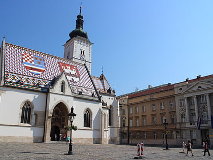
Nearby attractions include: Zagreb Cathedral, Tkalčićeva Street, Dolac Market, St. Mark's Church.
Frequently Asked Questions (FAQ)
Which popular attractions are close to Šalata?
Nearby attractions include Nova Ves, Zagreb (9 min walk), Mala Scena Theatre, Zagreb (10 min walk), Glyptotheque, Zagreb (10 min walk), Ribnjak, Zagreb (13 min walk).
How to get to Šalata by public transport?
The nearest stations to Šalata:
Bus
Tram
Bus
- Voćarska - sjemenište • Lines: 204 (3 min walk)
- Bijenička • Lines: 106, 201, 203, 204, 226, 238 (4 min walk)
Tram
- Belostenčeva • Lines: 14, 33, 8 (7 min walk)
- Grškovićeva • Lines: 14, 33, 8 (10 min walk)


