Trek Zone

Ivanja Reka, Zagreb

#177 among attractions in Zagreb

Neighbourhood
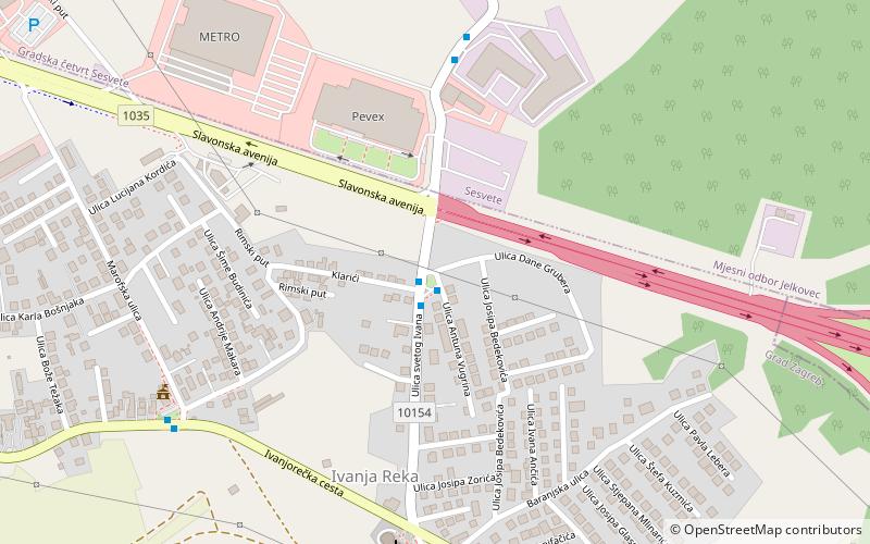
Ivanja Reka location map
Map

Facts and practical information

Alternative names: Coordinates: 45°48'7"N, 16°7'8"E
Address

Grad Zagreb (Ivanja Reka)Zagreb Croatia

ContactAdd
Social media
Add
Day trips

Ivanja Reka – popular in the area (distance from the attraction)

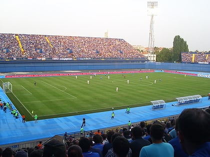
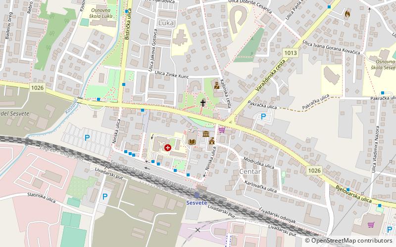
Nearby attractions include: Zagreb Zoo, Stadion Maksimir, Maksimir Park, Sesvete.

  • zagreb zoo4.9 miW
  • stadion maksimir zagreb5 miW
  • maksimir park zagreb5.1 miW
  • sesvete zagreb location map
    1.8 miN
  • city center one east zagreb3.3 miW
  • zagreb mosque5.2 miW
  • homeland bridge zagreb3.2 miSW
  • gornji grad medvescak zagreb5.1 miW
  • sava river bridge zagreb1.1 miS
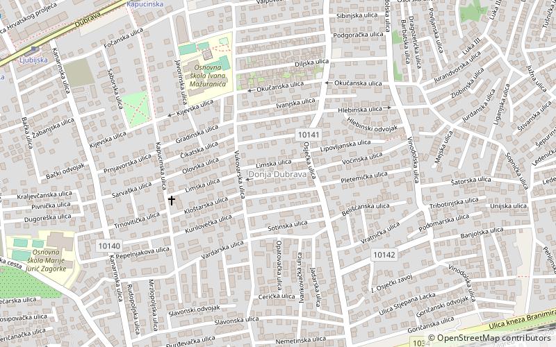
  • donja dubrava zagreb location map
    3.5 miNW
  • pescenica zitnjak zagreb location map
    3.4 miW

Frequently Asked Questions (FAQ)

How to get to Ivanja Reka by public transport?

The nearest stations to Ivanja Reka:

Bus
  • Svetog Ivana - Dane Grubera • Lines: 216, 277, 284, Bus Čazmatrans (1 min walk)
  • Savska - METRO • Lines: 277, 284 (6 min walk)

Where to next? Visit zagrebacka Zagrebačka region page or discover the top tourist attractions in Croatia.