Stenjevec, Zagreb

Map
Facts and practical information
Address
Grad Zagreb (Stenjevec)Zagreb
ContactAdd
Social media
Add
Day trips
Stenjevec – popular in the area (distance from the attraction)
Nearby attractions include: King Cross Jankomir, City Center One West, Podsused – Vrapče, Špansko.
Frequently Asked Questions (FAQ)
How to get to Stenjevec by public transport?
The nearest stations to Stenjevec:
Bus
Train
Tram
Bus
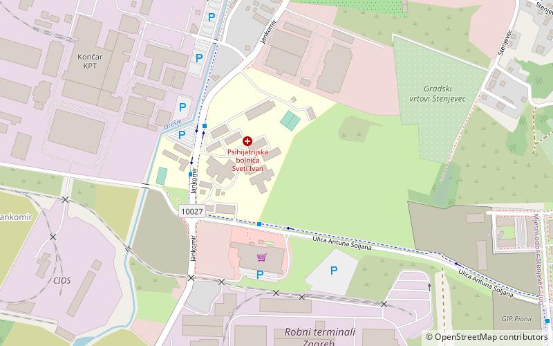
- Psihijatrijska bolnica Jankomir • Lines: 115, 146 (2 min walk)
- Jankomir • Lines: 119, 146 (10 min walk)
Train
- Gajnice (16 min walk)
Tram
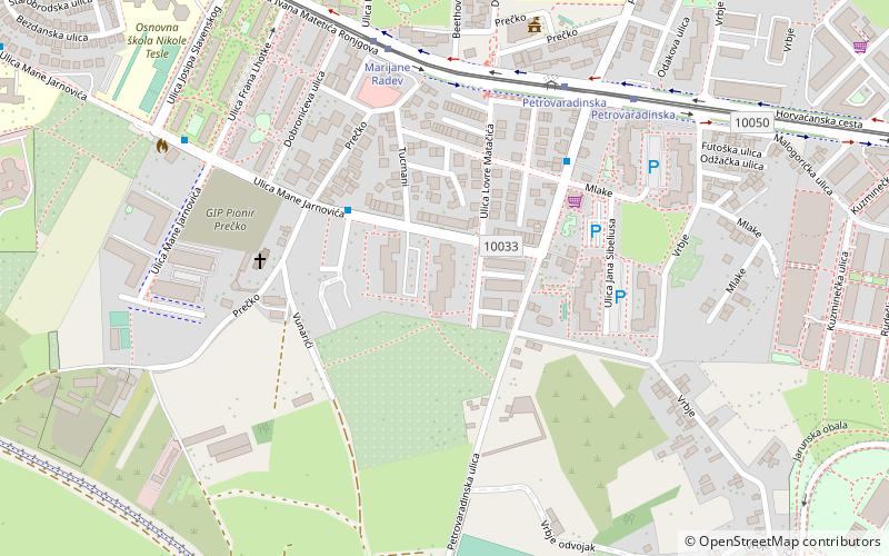
- Prečko • Lines: 17, 32, 5 (28 min walk)
- Slavenskog • Lines: 17, 32, 5 (33 min walk)


