Sv. Nikola, Baska Voda

Gallery (1)
Map
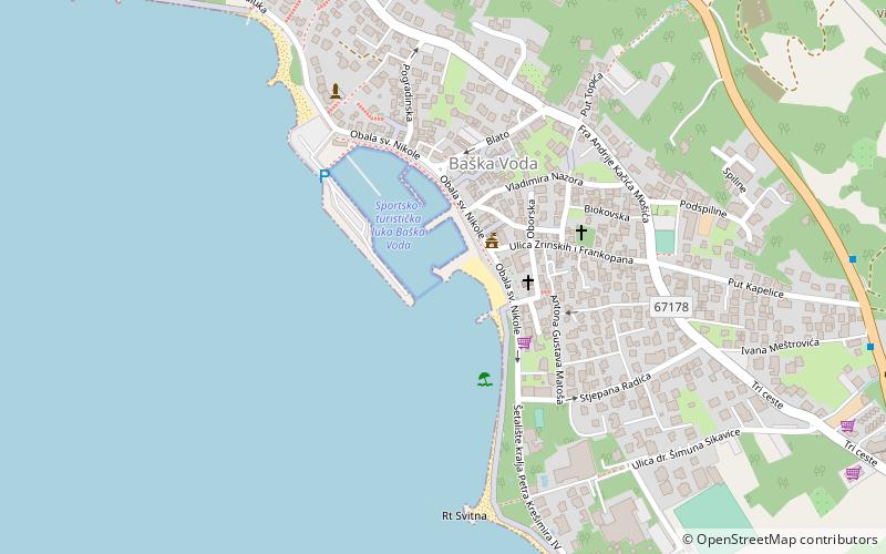
Map
Facts and practical information
Sv. Nikola is a place located in Baska Voda (Splitsko-Dalmatinska county) and belongs to the category of monuments and statues.
It is situated at an altitude of -3 feet, and its geographical coordinates are 43°21'25"N latitude and 16°56'52"E longitude.
Among other places and attractions worth visiting in the area are: Brela (locality, 30 min walk), Biokovo, Bratuš (park, 76 min walk), Veliko Brdo, Bratuš (neighbourhood, 115 min walk).
Coordinates: 43°21'25"N, 16°56'52"E
Address
Baska Voda
ContactAdd
Social media
Add
Day trips