Iglesia de Santa Elvira, Varadero

Gallery (1)
Map
Map
Facts and practical information
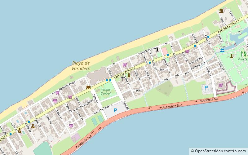
Iglesia de Santa Elvira is a place located in Varadero (Matanzas province) and belongs to the category of sightseeing.
It is situated at an altitude of 26 feet, and its geographical coordinates are 23°9'0"N latitude and 81°15'31"W longitude.
Among other places and attractions worth visiting in the area are: Parque Josone (park, 13 min walk), Delfinario (watersports, 146 min walk).
Coordinates: 23°9'0"N, 81°15'31"W
Address
Varadero
ContactAdd
Social media
Add
Day trips