Busto a José Martí, Havana
Map
Facts and practical information
Busto a José Martí is a place located in Havana (Ciudad de la Habana province) and belongs to the category of memorial.
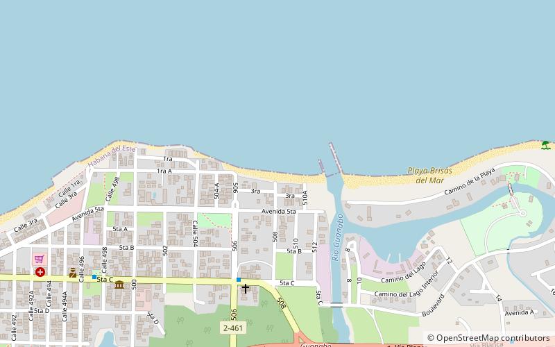
It is situated at an altitude of 16 feet, and its geographical coordinates are 23°10'7"N latitude and 82°7'25"W longitude.
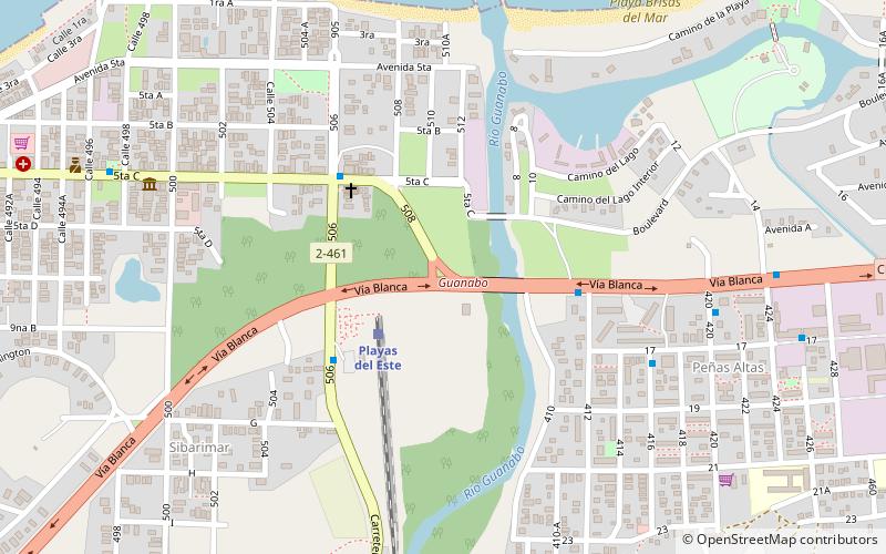
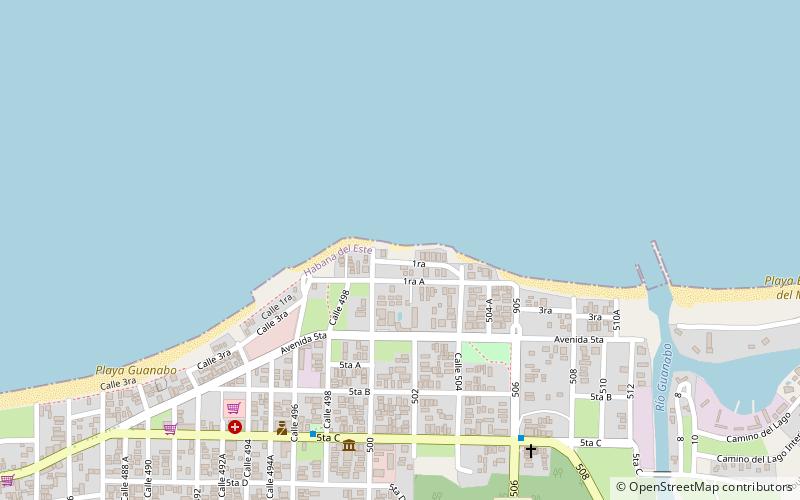
Planning a visit to this place, one can easily and conveniently get there by public transportation. Busto a José Martí is a short distance from the following public transport stations: Playas del Este (train, 3 min walk), A64-C3-C4-C5 (bus, 5 min walk).
Among other places and attractions worth visiting in the area are: Mar azul (beach, 9 min walk), Tarara playa (beach, 13 min walk), Guanabo (town, 23 min walk).
Coordinates: 23°10'7"N, 82°7'25"W
Address
Habana del EsteHavana
ContactAdd
Social media
Add
Getting there by public transportation
Public transportation stops near this location
- Bus
- Train
 Bus
Bus
- Calculate routePlayas del Este 3 min walk
- Calculate routeGuanabo 30 min walk
- Calculate routeA64-C3-C4-C5 5 min walk
- Calculate routePuente Peñas Altas 5 min walk
- Calculate routeLa Conchita 5 min walk
- Calculate routePeñas altas 9 min walk
Day trips

Frequently Asked Questions (FAQ)
Which popular attractions are close to Busto a José Martí?
Nearby attractions include Mar azul, Havana (9 min walk), Tarara playa, Havana (13 min walk), Guanabo, Havana (23 min walk).
How to get to Busto a José Martí by public transport?
The nearest stations to Busto a José Martí:
Train
Bus
Train
- Playas del Este (3 min walk)
- Guanabo (30 min walk)
Bus
- A64-C3-C4-C5 • Lines: A64 (5 min walk)
- Puente Peñas Altas • Lines: A40 (5 min walk)