La Ruta del Esclavo, Matanzas

Gallery (1)
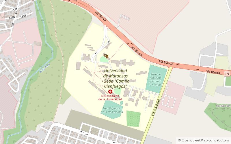
Map
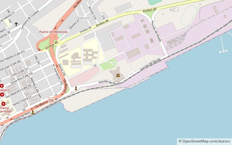
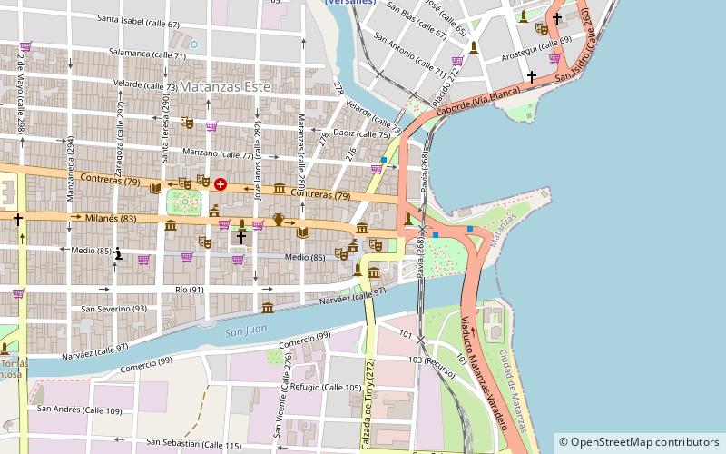
Map
Facts and practical information
La Ruta del Esclavo (address: Zona Industrial, Versalles) is a place located in Matanzas (Matanzas province) and belongs to the category of museum.
It is situated at an altitude of 43 feet, and its geographical coordinates are 23°3'22"N latitude and 81°33'34"W longitude.
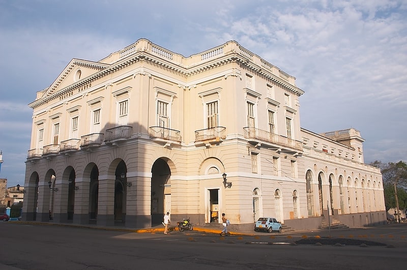
Among other places and attractions worth visiting in the area are: Museo Historico Provincial de Matanzas (museum, 30 min walk), Sauto Theater (concerts and shows, 30 min walk), Necropolis de San Carlos Borromeo (church, 34 min walk).
Coordinates: 23°3'22"N, 81°33'34"W
Day trips