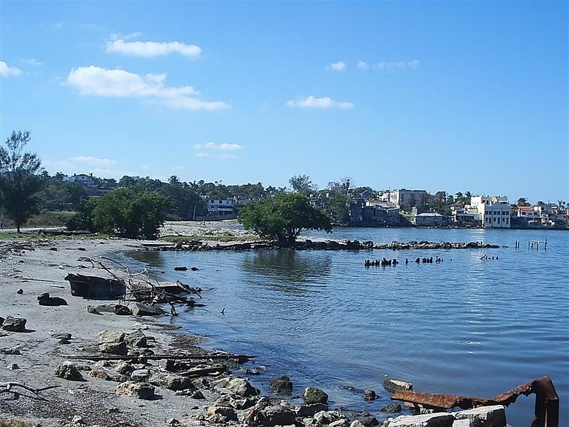
Playa Bacuranao, Havana
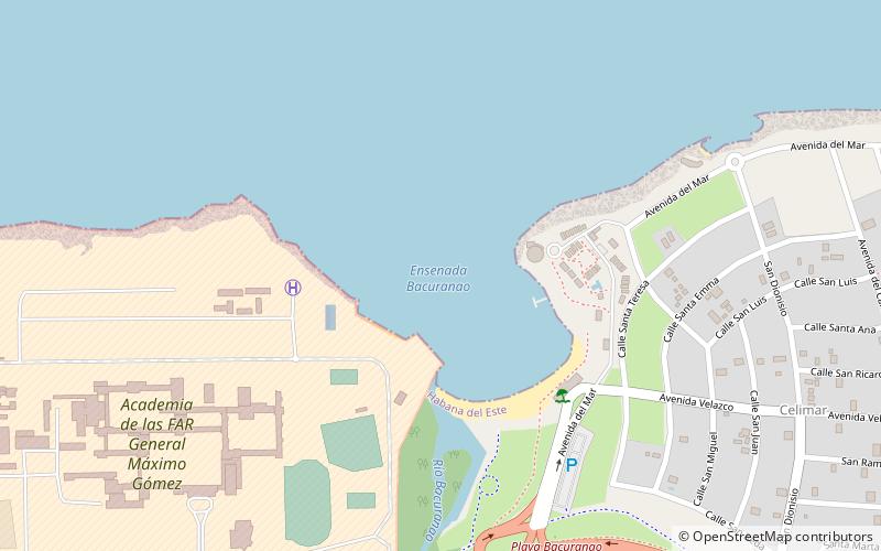
Map
Facts and practical information
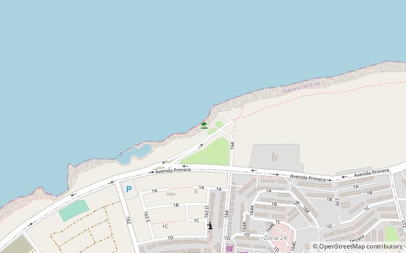
Playa Bacuranao is a place located in Havana (Ciudad de la Habana province) and belongs to the category of beach.
It is situated at an altitude of 0 feet, and its geographical coordinates are 23°10'36"N latitude and 82°14'29"W longitude.
Planning a visit to this place, one can easily and conveniently get there by public transportation. Playa Bacuranao is a short distance from the following public transport stations: Bacuraranao (bus, 11 min walk).
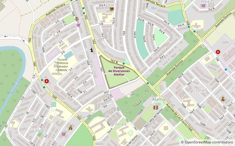
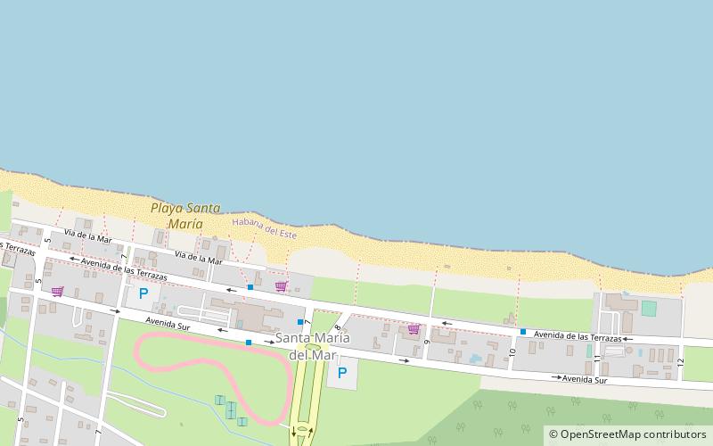
Among other places and attractions worth visiting in the area are: Tarará (town, 61 min walk), Playa de los Rusos (beach, 63 min walk), Parque de Diversiones Alamar (amusement, 67 min walk).
Coordinates: 23°10'36"N, 82°14'29"W
Address
Havana
ContactAdd
Social media
Add
Getting there by public transportation
Public transportation stops near this location
- Bus
 Bus
Bus
- Calculate routeBacuraranao 11 min walk
- Calculate routeLas Dominicas 16 min walk
- Calculate routeMicro 10 24 min walk
- Calculate routeGranja Pepito Tey 33 min walk
Day trips


Frequently Asked Questions (FAQ)
How to get to Playa Bacuranao by public transport?
The nearest stations to Playa Bacuranao:
Bus
Bus
- Bacuraranao • Lines: A40, A62 (11 min walk)
- Las Dominicas • Lines: A40 (16 min walk)