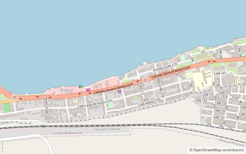
Playa "El Tenis", Matanzas
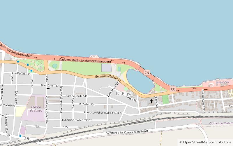
Map
Facts and practical information
Playa "El Tenis" is a place located in Matanzas (Matanzas province) and belongs to the category of beach.
It is situated at an altitude of 3 feet, and its geographical coordinates are 23°2'11"N latitude and 81°33'34"W longitude.
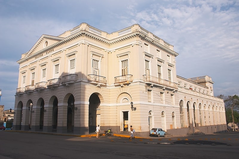
Among other places and attractions worth visiting in the area are: Playa de Allende (beach, 19 min walk), Palmar de Junco (historical place, 29 min walk), Museo de Los Bomberos (museum, 29 min walk).
Coordinates: 23°2'11"N, 81°33'34"W
Address
Matanzas
ContactAdd
Social media
Add
Day trips