La Yaya Dam
Map

Map

Facts and practical information
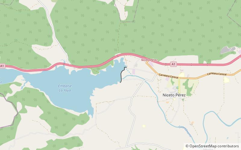
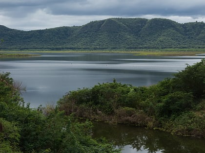
La Yaya Dam is an embankment dam on the Guantánamo River near the town of La Yaya in the municipality of Niceto Pérez in Guantánamo Province, Cuba. The dam was completed in 1973 for flood control, irrigation of up to 8,000 ha, and water supply for municipal and industrial uses. The reservoir has a storage capacity of 160,000,000 m3, the second largest in the eastern part of the country after Melones Dam. ()
Opened: 1973 (53 years ago)Reservoir area: 5.14 mi²Coordinates: 20°7'37"N, 75°21'33"W
Location
Guantánamo
ContactAdd
Social media
Add
