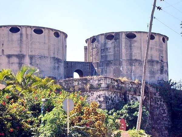
Castillo de Atarés, Havana
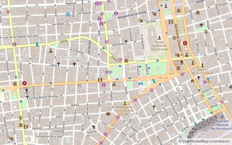
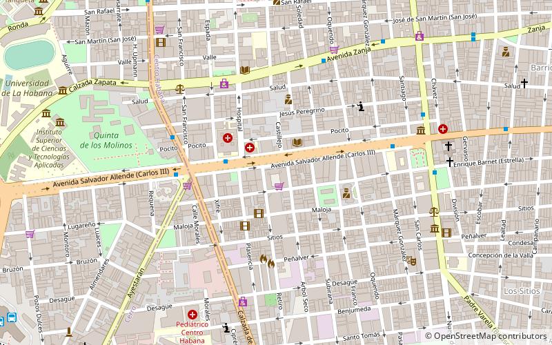
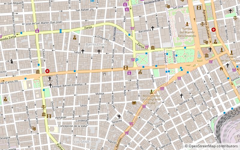
Map
Facts and practical information
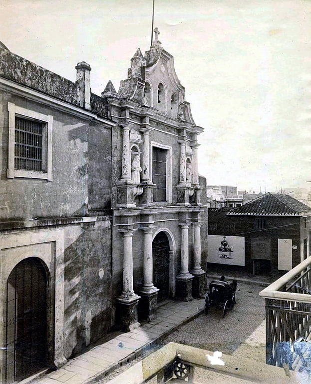
The Castillo de Santo Domingo de Atarés is a small hexagonal hilltop fort in Havana built in 1767. Work commenced in 1763, around the same time as initial work on Castillo del Príncipe. It is located on La loma de Soto above the harbour. In 1982, the fort was inscribed on the UNESCO World Heritage List, along with other historic sites in Old Havana, because of the city's importance in the European conquest of the New World, its fortifications, and its unique architecture. ()
Address
CerroHavana
ContactAdd
Social media
Add
Getting there by public transportation
Public transportation stops near this location
- Bus
- Train
 Bus
Bus
- Calculate route10 de Octubre y Agua Dulce 5 min walk
- Calculate routeEsquina de Tejas 6 min walk
- Calculate routeTerminal Villanueva 7 min walk
- Calculate routeTerminal de Ómnibus Nacionales de Villanueva 8 min walk
- Calculate routeTerminal La Coubre 29 min walk
- Calculate routeCentral Railway Station 31 min walk
- Calculate routeLuyanó 35 min walk
Day trips


Frequently Asked Questions (FAQ)
How to get to Castillo de Atarés by public transport?
The nearest stations to Castillo de Atarés:
Bus
Train
Bus
- 10 de Octubre y Agua Dulce • Lines: 179, A3, A32 (5 min walk)
- Esquina de Tejas • Lines: A16 (6 min walk)
Train
- Terminal La Coubre (29 min walk)
- Central Railway Station (31 min walk)