Fortifications of Famagusta, Famagusta
Map
Map

Facts and practical information
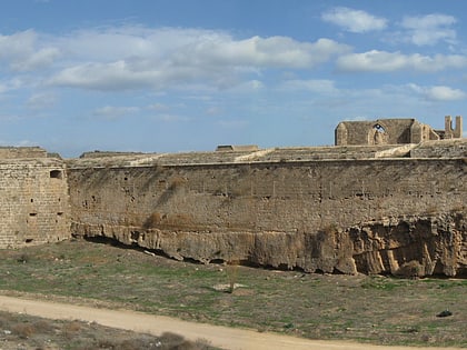
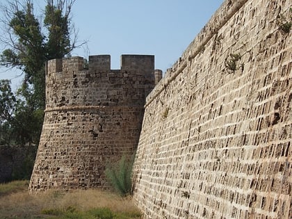
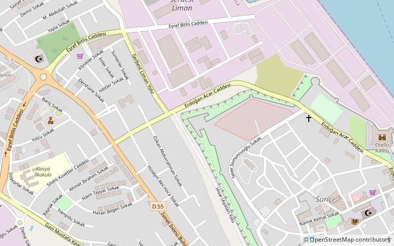
The fortifications of Famagusta are a series of defensive walls and other fortifications which surround the city of Famagusta in Northern Cyprus. The walls were built by the Lusignan Kingdom of Cyprus in the 14th century, and redesigned by Republic of Venice in 15th and 16th centuries before the siege of Ottoman Empire in 1571. The fortifications of Famagusta withstood an 11-month siege before the city capitulated to the Ottoman Empire in August 1571. ()
Coordinates: 35°7'41"N, 33°56'7"E
Day trips
Fortifications of Famagusta – popular in the area (distance from the attraction)
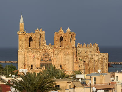
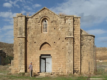
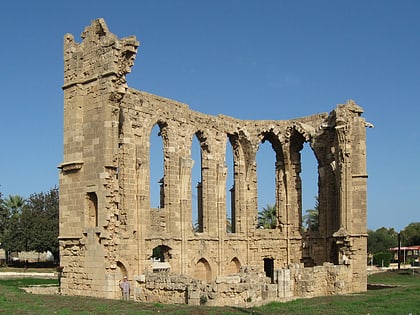
Nearby attractions include: Lala Mustafa Pasha Mosque, Othello Castle, Nestorian Church, Ganchvor monastery.
Frequently Asked Questions (FAQ)
Which popular attractions are close to Fortifications of Famagusta?
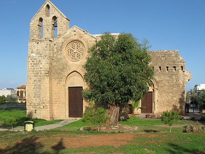
Nearby attractions include Ganchvor monastery, Famagusta (3 min walk), Nestorian Church, Famagusta (8 min walk), Church of St. George of the Latins, Famagusta (12 min walk), Othello Castle, Famagusta (12 min walk).
