Rigenis Street, Nicosia
Map
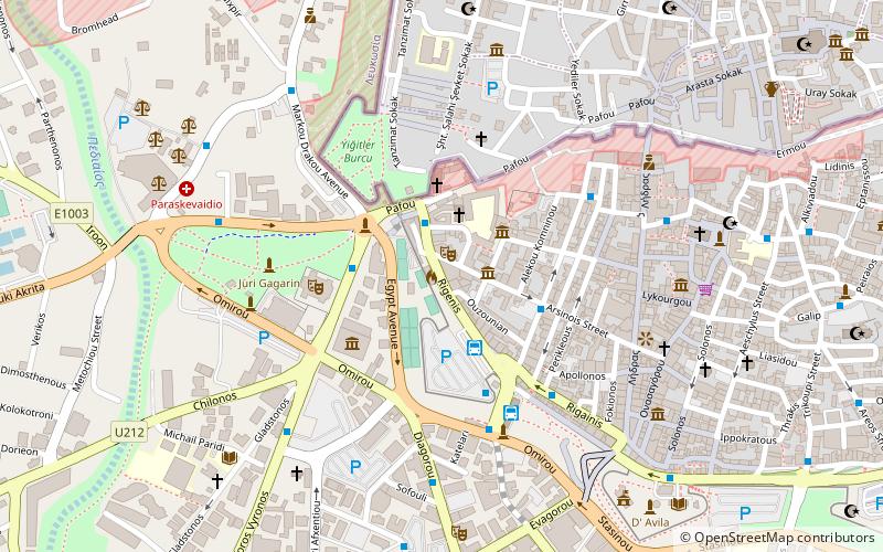
Map

Facts and practical information
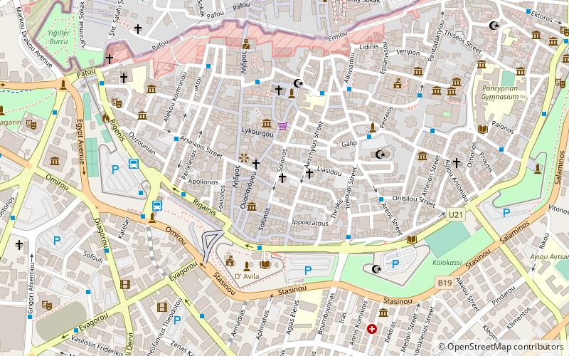
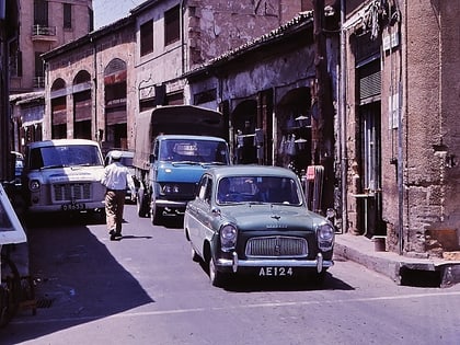
Rigenis Street is a shopping street in central Nicosia that runs from Ledra Street to Solomos Square. It was the busiest street in Nicosia during the British Colonial period in Cyprus after Hermes Street and Ledra Street. Rigenis Street is 0.3 km long. One publication stated that "mention of 'Rigenis Street' does not call into mind the glorious queen who used to rule Cyprus but rather the cabaret joints for which it is notorious". ()
Local name: Οδός ΡηγαίνηςCoordinates: 35°10'22"N, 33°21'27"E
Address
Nicosia
ContactAdd
Social media
Add
Day trips
Rigenis Street – popular in the area (distance from the attraction)
Nearby attractions include: Büyük Han, Faneromeni Square, Arab Ahmet Mosque, Nicosia municipal gardens.
Frequently Asked Questions (FAQ)
Which popular attractions are close to Rigenis Street?
Nearby attractions include Cyprus Classic Motorcycle Museum, Nicosia (2 min walk), Church of the Holy Cross, Nicosia (3 min walk), Nicosia municipal gardens, Nicosia (3 min walk), Centre of Cultural Heritage, Nicosia (4 min walk).
How to get to Rigenis Street by public transport?
The nearest stations to Rigenis Street:
Bus
Bus
- Pafos Gate • Lines: L1 (2 min walk)
- Solomou Square • Lines: 46, 66, Intercity Λευκωσία - Λάρνακα, L1 (3 min walk)

