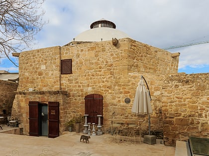
Nebethane, Nicosia
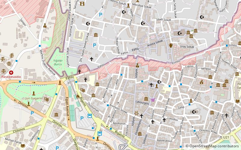
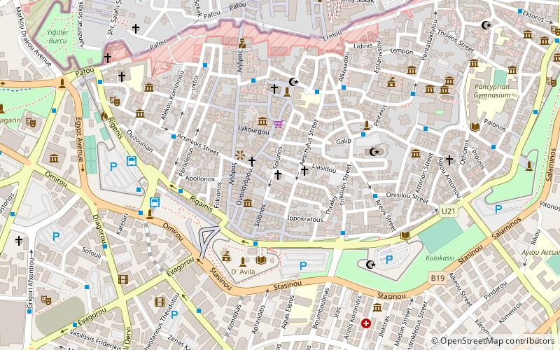
Map
Facts and practical information
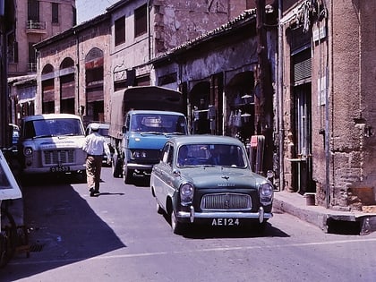
Nebethane is an historic neighbourhood, quarter, Mahalla, or parish of central Nicosia, Cyprus. Its name inherited from the Ottoman period is Turkish for police station or the guard room of the Turkish patrol. Nebethane Mesjid in this quarter was the place where the police patrol of the city assembled for changing the guard each day, accompanied by drums and pipes. ()
Coordinates: 35°10'27"N, 33°21'37"E
Address
Nicosia
ContactAdd
Social media
Add
Day trips
Nebethane – popular in the area (distance from the attraction)
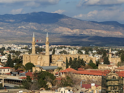
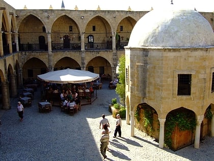
Nearby attractions include: St. Sophia Cathedral, Büyük Han, Faneromeni Square, Arab Ahmet Mosque.
Frequently Asked Questions (FAQ)
Which popular attractions are close to Nebethane?
Nearby attractions include Centre of Cultural Heritage, Nicosia (2 min walk), Ledra Street, Nicosia (3 min walk), Notre Dame de Tyre, Nicosia (4 min walk), Faneromeni Square, Nicosia (4 min walk).
How to get to Nebethane by public transport?
The nearest stations to Nebethane:
Bus
Bus
- Artemidos • Lines: L1 (1 min walk)
- Nikokleous - Faneromeni • Lines: L1 (3 min walk)
