Virunga National Park, Goma
Map
Facts and practical information
Virunga National Park is a place located in Goma (Nord-Kivu province) and belongs to the category of sightseeing.
It is situated at an altitude of 4918 feet, and its geographical coordinates are 1°41'12"S latitude and 29°14'10"E longitude.
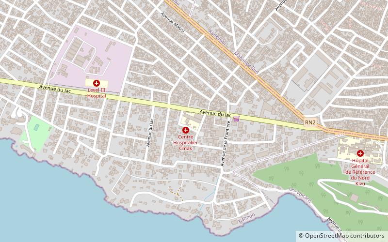
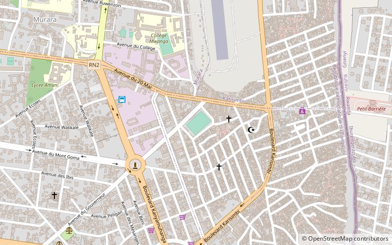
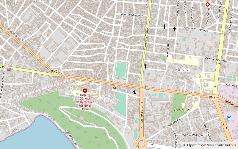
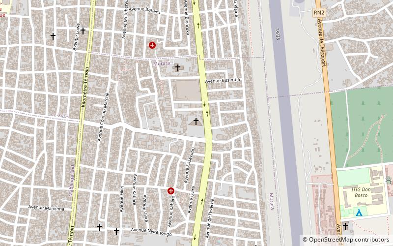
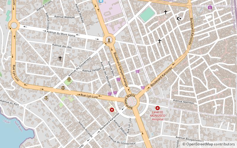
Among other places and attractions worth visiting in the area are: Stade des Volcans (sport, 9 min walk), Stade de l'Unité (sport, 23 min walk), Cathedral of St. Joseph (ruins, 30 min walk).
Coordinates: 1°41'12"S, 29°14'10"E
Address
Goma
ContactAdd
Social media
Add
Day trips
Virunga National Park – popular in the area (distance from the attraction)
Nearby attractions include: University of Goma, Stade des Volcans, Stade de l'Unité, Cathedral of St. Joseph.