Murara
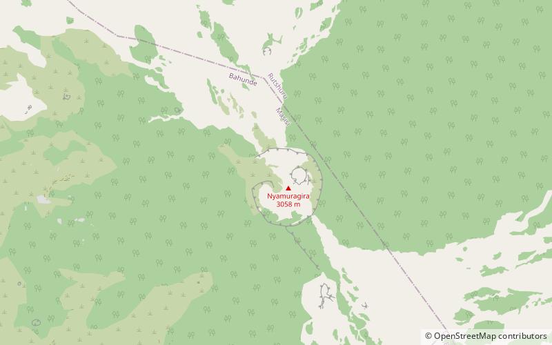
Map
Facts and practical information
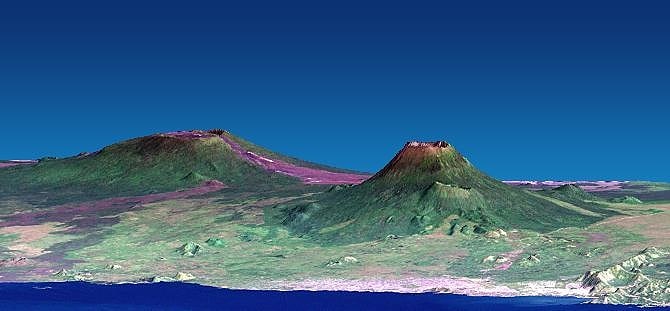
Murara was a small, short-lived, cinder cone on the flank of Mount Nyamuragira, that began erupting on December 23, 1976. It is located about twelve kilometers south-southwest of the main crater of Nyamuragira. On 18 January 1977, the height of the cone was measured as 150 metres. ()
Location
Nord-Kivu
ContactAdd
Social media
Add
Day trips
Murara – popular in the area (distance from the attraction)
Nearby attractions include: Nyamuragira.