Goda Mountains

Gallery (1)
Map
Map
Facts and practical information
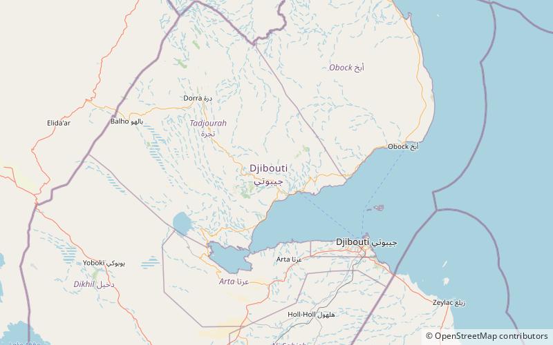
The Goda Mountains lie northwest of the Gulf of Tadjoura, Tadjoura Region in Djibouti. They rise to 1,750 metres above sea level and are the nation's largest heavily vegetated area and is the second highest point in Djibouti. The name Goda in Afar means "twisted" or "devoured" and refers to a ridge. A part of the mountains is protected within the Day Forest National Park, Djibouti's only national park. The ecology of this landform is considered an isolated outlier of the Ethiopian montane forest ecological zone, an important island of forest in a sea of semi-desert. ()
Location
Tadjourah
ContactAdd
Social media
Add