Gulf of Tadjoura
Map

Map

Facts and practical information
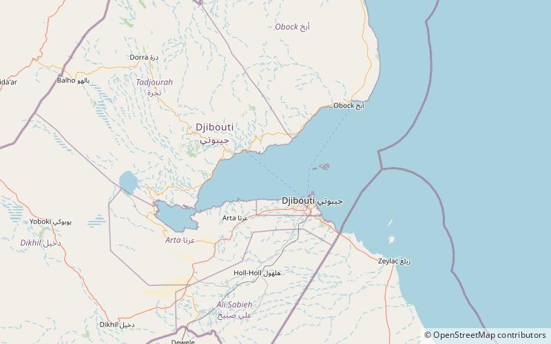
The Gulf of Tadjoura is a gulf or basin of the Indian Ocean in the Horn of Africa. It lies south of the straits of Bab-el-Mandeb, or the entrance to the Red Sea, at 11.7°N 43.0°E / 11.7; 43.0. The gulf has many fishing grounds, extensive coral reefs, and abundant pearl oysters. Most of its coastline is the territory of Djibouti, except for a short stretch on the southern shore, which is part of the territory of Somaliland. ()
Local name: Golfe de Tadjourah Length: 40 miWidth: 16 miAverage depth: -3537 ftElevation: 0 ft a.s.l.Coordinates: 11°42'0"N, 43°0'0"E
Location
Tadjourah
ContactAdd
Social media
Add
