Beata Island, Jaragua National Park

Gallery (1)
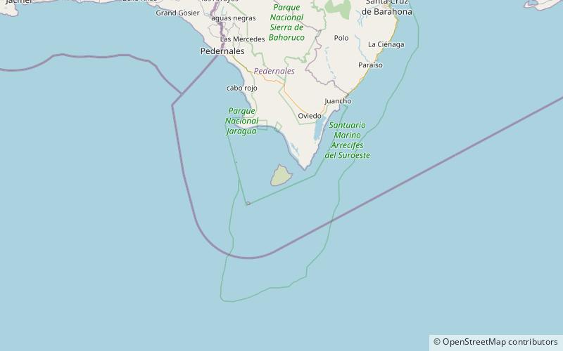
Map
Map
Facts and practical information
Beata Island is a small island on the Caribbean Sea, located 7 km southwest from Cape Beata. Some 12 km southwest of it lies the smaller Alto Velo Island. It is politically part of the Dominican Republic, and is roughly triangle-shaped and fairly flat, with an approximate area of 27 km2. ()
Address
Jaragua National Park
ContactAdd
Social media
Add