
Santa Barbara de Samana Travel Guide
Facts and practical information
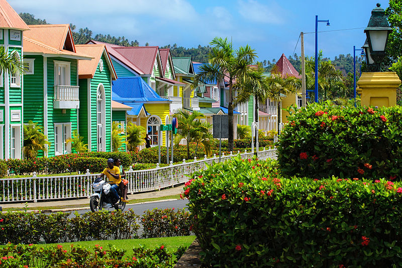
Santa Barbara de Samana, located in the Samaná region of the Dominican Republic, is a picturesque town that offers visitors a taste of Caribbean culture and natural beauty. Nestled between lush, green hills and the turquoise waters of the Atlantic Ocean, Santa Barbara de Samana is a charming destination with a rich history and vibrant atmosphere.
One of the main attractions in Santa Barbara de Samana is the stunning coastline, which is dotted with pristine beaches and hidden coves. Playa Rincon, widely considered one of the most beautiful beaches in the Caribbean, is a must-visit for travelers seeking a tranquil and unspoiled paradise. The crystal-clear waters are perfect for swimming, snorkeling, and diving, and the soft, white sands are ideal for sunbathing and relaxation.
In addition to its natural beauty, Santa Barbara de Samana is also known for its lively local culture and colorful festivals. Visitors to the town can experience traditional Dominican music and dance, as well as sample delicious Caribbean cuisine at the many restaurants and street food stalls. The town's bustling markets are great places to pick up handmade crafts, souvenirs, and fresh produce.
For nature enthusiasts, Santa Barbara de Samana offers a wealth of outdoor activities, including hiking, birdwatching, and whale watching. The nearby Los Haitises National Park is a haven for wildlife and boasts a network of caves, mangroves, and ancient Taino petroglyphs.
Samaná
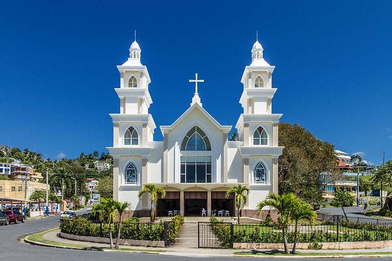
Santa Barbara de Samana Attractions - What to See and Explore
Santa Barbara de Samana offers many attractions and places to visit. Here are the most important ones: Cayo Levantado Port. Below you will find a complete list of places worth visiting.
Best Time To Visit Santa Barbara de Samana
Learn when is the best time to travel to Santa Barbara de Samana weather-wise and what to expect in each season.