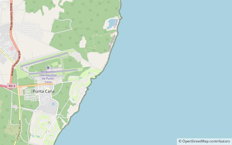
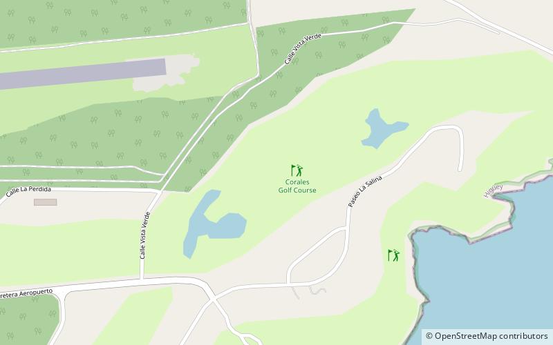
Corales Golf Course, Punta Cana

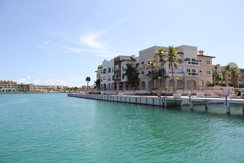
Gallery (1)
Map
Map
Facts and practical information
Corales Golf Course (address: Punta Cana) is a place located in Punta Cana (La Altagracia province) and belongs to the category of golf.
It is situated at an altitude of 36 feet, and its geographical coordinates are 18°33'56"N latitude and 68°20'44"W longitude.
Among other places and attractions worth visiting in the area are: Cape Engaño (lighthouse, 33 min walk), Cap Cana (marina, 127 min walk).
Coordinates: 18°33'56"N, 68°20'44"W
Day trips