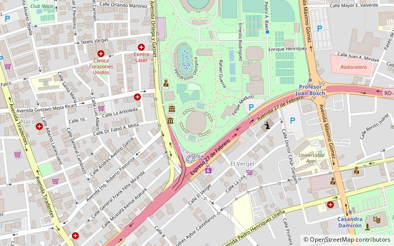
Central Santo Domingo, Santo Domingo
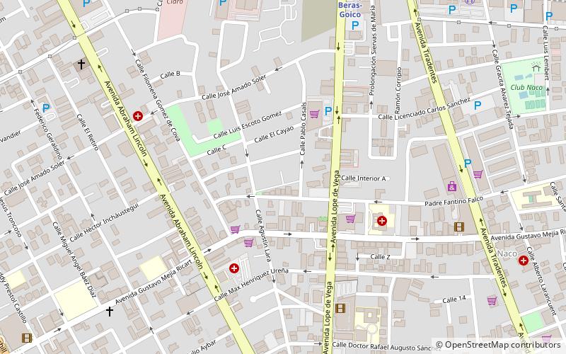
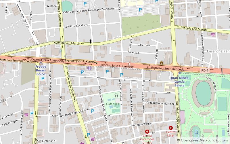
Map
Facts and practical information
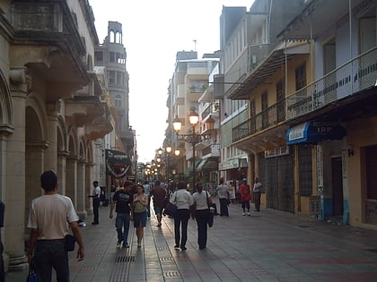
Central Santo Domingo or better known as Polígono Central is a term used to group several neighborhoods located in central Santo Domingo, Distrito Nacional, Dominican Republic defined as the area delineated by John F Kennedy Avenue on the north, on the west by Winston Churchill avenue, on the east by Maximo Gomez avenue, and on the south by 27 de Febrero avenue. ()
Coordinates: 18°28'38"N, 69°55'58"W
Address
NacoSanto Domingo
ContactAdd
Social media
Add
Day trips
Central Santo Domingo – popular in the area (distance from the attraction)
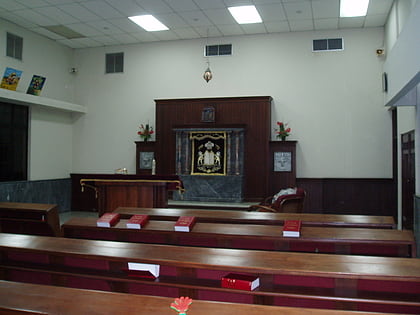
Nearby attractions include: Estadio Quisqueya, Félix Sánchez Olympic Stadium, Centro Israelita de República Dominicana, Novo Centro.
Frequently Asked Questions (FAQ)
How to get to Central Santo Domingo by public transport?
The nearest stations to Central Santo Domingo:
Metro
Bus
Metro
- Freddy Beras-Goico • Lines: 2 (11 min walk)
- Pedro Mir • Lines: 2 (18 min walk)
Bus
- Transporte Perla Masiel (32 min walk)
- Transporte Cibao (33 min walk)


