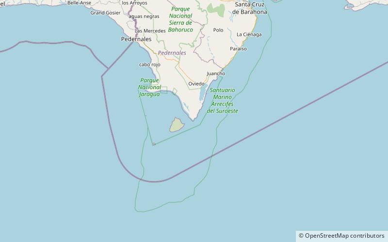
Cabo Beata, Jaragua National Park

Map
Facts and practical information
Cabo Beata is the southernmost point of the island of Hispaniola, in the Pedernales Province of the Dominican Republic. The small island of Isla Beata stands about 4 mi southwest of the cape. ()
Address
Jaragua National Park
ContactAdd
Social media
Add